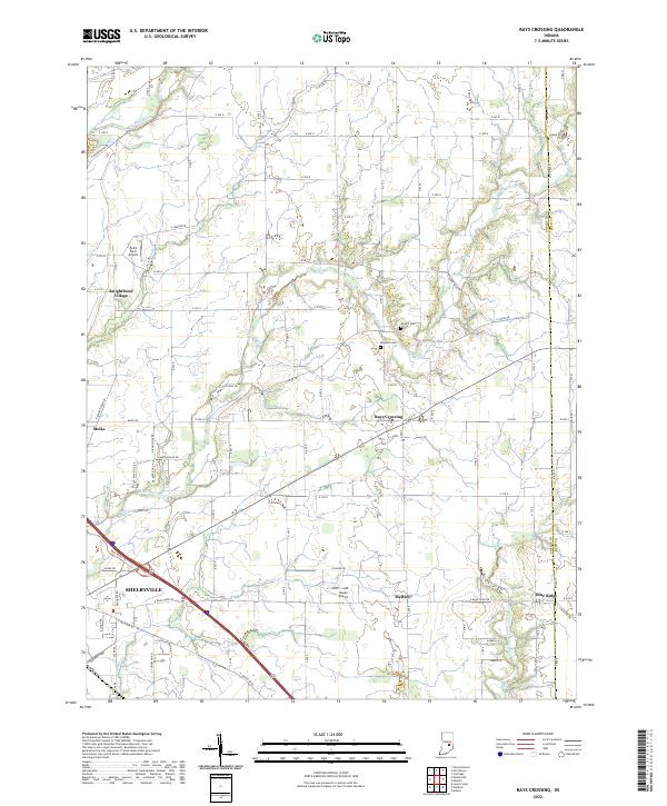
2022 Map of Rays Crossing
USGS Topo · Published 2022About this map
The Big Blue River and Little Blue River converge toward the southwest corner of this Shelby County landscape, shaping the development of the regional seat at Shelbyville. This modern survey illustrates the agricultural character of the area, punctuated by small unincorporated communities like Rays Crossing, Meltzer, and Blue Ridge. The terrain is marked by a network of rural roads such as N Morristown Rd and E Michigan Rd, which follow the traditional section lines and river valleys.
Find a feature on this map
48 named features on this map. Tap any name to fly to it.
Don’t see what you’re looking for? This feature index may not catch every label — zoom into the map to look around manually.
Map Details
Editions of this 2022 Rays Crossing Map
This is the sole edition of this map. No revisions or reprints were ever made.
Other maps of this area

1942 · Columbus
USGS Topo · 1:125,000

1948 · Lewis Creek
USGS Topo · 1:24,000

1950 · Edinburg
USGS Topo · 1:62,500

1952 · Fountaintown
USGS Topo · 1:24,000

1953 · Shelbyville
USGS Topo · 1:24,000

1953 · Cincinnati
USGS Topo · 1:250,000

1956 · Morristown
USGS Topo · 1:24,000

1956 · Waldron
USGS Topo · 1:24,000

1956 · Rays Crossing
USGS Topo · 1:24,000

1957 · Cincinnati
USGS Topo · 1:250,000