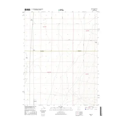
2017 Map of Read
USGS Topo · Published 2017About this map
The Beaver River winds through this arid expanse of the eastern Escalante Desert along the border of Millard and Beaver Counties. This 2017 survey shows a landscape largely defined by its drainage patterns and vast grazing lands, centered on the low-lying Beaver Bottoms. The sparse human footprint is marked by the settlements of Read and Murdock, which sit along the western edge of the quadrangle. The map captures the specialized hydrology of the region, including ephemeral features such as Negro Mag Wash and Cove Cr. The rigid grid of the Public Land Survey System, represented by sections in t25s r10w and t26s r10w, underscores the systematic division of this high-desert environment for ranching and resource management.
Find a feature on this map
17 named features on this map. Tap any name to fly to it.
Don’t see what you’re looking for? This feature index may not catch every label — zoom into the map to look around manually.
Map Details
Editions of this 2017 Read Map
This is the sole edition of this map. No revisions or reprints were ever made.
Other maps of this area

1885 · Beaver
USGS Topo · 1:250,000

1953 · Richfield
USGS Topo · 1:250,000

1958 · Richfield
USGS Topo · 1:250,000

1958 · Milford
USGS Topo · 1:62,500

1958 · Milford
USGS Topo · 1:24,000

1958 · Adamsville
USGS Topo · 1:62,500

1958 · Ranch Canyon
USGS Topo · 1:24,000

1960 · Beaver Lake Mts.
USGS Topo · 1:62,500

1973 · Pinnacle Pass
USGS Topo · 1:24,000

1973 · Antelope Spring
USGS Topo · 1:24,000