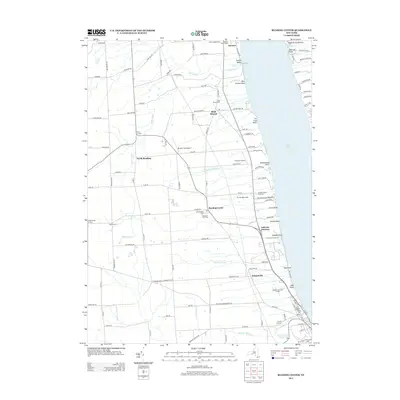
2013 Map of Reading Center
USGS Topo · Published 2013About this map
The western shores of Seneca Lake define the eastern boundary of this region, where the terrain rises from the water's edge into a landscape shaped by agriculture and viticulture. Multiple vineyards, including Arcadian Estate Vineyards and Lakewood Vineyards, punctuate the shoreline alongside geographic landmarks like Peach Orchard Point and Buttonwood Point. In the interior, the settlement of Reading Center serves as a local hub, situated near the Old Reading Cem and Pleasant View Cem.
Find a feature on this map
127 named features on this map. Tap any name to fly to it.
Don’t see what you’re looking for? This feature index may not catch every label — zoom into the map to look around manually.
Map Details
Editions of this 2013 Reading Center Map
This is the sole edition of this map. No revisions or reprints were ever made.
Other maps of this area

1898 · Watkins Glen
USGS Topo · 1:62,500

1901 · Watkins
USGS Topo · 1:62,500

1902 · Ovid
USGS Topo · 1:62,500

1903 · Penn Yan
USGS Topo · 1:62,500

1903 · Hammondsport
USGS Topo · 1:62,500

1905 · Watkins Glen
USGS Topo · 1:125,000

1942 · Dundee
USGS Topo · 1:24,000

1942 · Lodi
USGS Topo · 1:24,000

1942 · Keuka Park
USGS Topo · 1:24,000

1943 · Keuka Lake
USGS Topo · 1:31,680