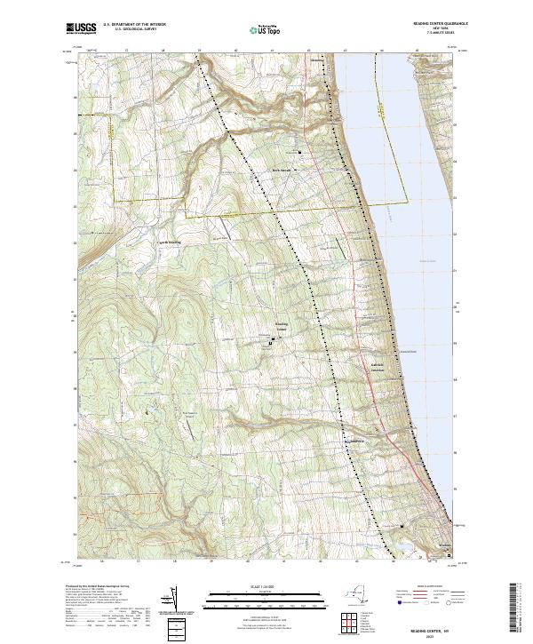
2023 Map of Reading Center
USGS Topo · Published 2023About this map
Seneca Lake defines the eastern boundary of this landscape, its western shoreline marked by a dense sequence of named points and creek outlets. These include Peach Orchard Point, Inwood Point, and Salt Point, where seasonal drainages like Buttonwood Brook and Big Hollow Run meet the water. The uplands are primarily agricultural, dotted with small crossroads settlements like Reading Center and Rock Stream.
Find a feature on this map
116 named features on this map. Tap any name to fly to it.
Don’t see what you’re looking for? This feature index may not catch every label — zoom into the map to look around manually.
Map Details
Editions of this 2023 Reading Center Map
This is the sole edition of this map. No revisions or reprints were ever made.
Other maps of this area

1898 · Watkins Glen
USGS Topo · 1:62,500

1901 · Watkins
USGS Topo · 1:62,500

1902 · Ovid
USGS Topo · 1:62,500

1903 · Penn Yan
USGS Topo · 1:62,500

1903 · Hammondsport
USGS Topo · 1:62,500

1905 · Watkins Glen
USGS Topo · 1:125,000

1942 · Dundee
USGS Topo · 1:24,000

1942 · Lodi
USGS Topo · 1:24,000

1942 · Keuka Park
USGS Topo · 1:24,000

1943 · Keuka Lake
USGS Topo · 1:31,680