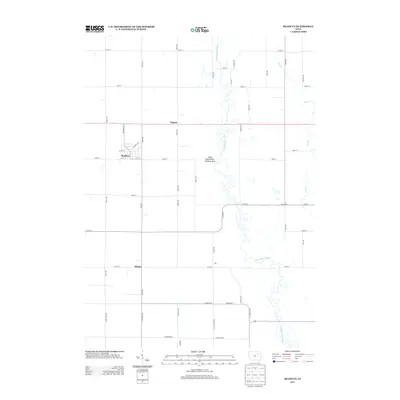
2013 Map of Readlyn
USGS Topo · Published 2013About this map
Readlyn serves as the primary hub of this eastern Iowa landscape, where a strictly rectangular grid of section-line roads like Sable Ave and Reed Ave organizes the agricultural terrain. The geometric regularity of the farmland is broken only by the winding course of the Wapsipinicon River, which meanders through the eastern half of the quadrangle. Along its banks, the Little Buck Public Hunting Area preserves a pocket of natural river bottom terrain amidst the surrounding fields.
Find a feature on this map
46 named features on this map. Tap any name to fly to it.
Don’t see what you’re looking for? This feature index may not catch every label — zoom into the map to look around manually.
Map Details
Editions of this 2013 Readlyn Map
This is the sole edition of this map. No revisions or reprints were ever made.
Other maps of this area

1954 · Waterloo
USGS Topo · 1:250,000

1955 · Waterloo
USGS Topo · 1:250,000

1963 · Denver
USGS Topo · 1:24,000

1963 · Waterloo North
USGS Topo · 1:24,000

1971 · Readlyn
USGS Topo · 1:24,000

1971 · Sumner
USGS Topo · 1:24,000

1971 · Sumner SW
USGS Topo · 1:24,000

1971 · Dunkerton
USGS Topo · 1:24,000

1971 · Fairbank
USGS Topo · 1:24,000

1971 · Tripoli
USGS Topo · 1:24,000