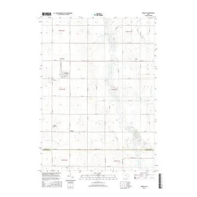
2015 Map of Readlyn
USGS Topo · Published 2015About this map
The town of Readlyn serves as the central hub of this agricultural landscape in Bremer County, where a grid of rural routes like Co HWY v49 and 230th ST connects the farming community. The area is defined by the winding course of the Wapsipinicon River, which meanders through the eastern half of the map, creating a belt of wetlands and varied terrain that contrasts with the surrounding sectioned fields.
Find a feature on this map
61 named features on this map. Tap any name to fly to it.
Don’t see what you’re looking for? This feature index may not catch every label — zoom into the map to look around manually.
Map Details
Editions of this 2015 Readlyn Map
This is the sole edition of this map. No revisions or reprints were ever made.
Other maps of this area

1954 · Waterloo
USGS Topo · 1:250,000

1955 · Waterloo
USGS Topo · 1:250,000

1963 · Denver
USGS Topo · 1:24,000

1963 · Waterloo North
USGS Topo · 1:24,000

1971 · Readlyn
USGS Topo · 1:24,000

1971 · Sumner
USGS Topo · 1:24,000

1971 · Sumner SW
USGS Topo · 1:24,000

1971 · Dunkerton
USGS Topo · 1:24,000

1971 · Fairbank
USGS Topo · 1:24,000

1971 · Tripoli
USGS Topo · 1:24,000