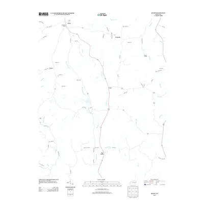
2013 Map of Ready
USGS Topo · Published 2013About this map
Big Reedy Cr and its numerous tributaries define the landscape of this region north of the Green River. The settlement pattern is largely linear, following the ridgelines and creek valleys along routes like Big Reedy Rd and Ready Jackson Rd. Small rural communities such as Ready, Nash, and Big Reedy are central to the map, while Windyville and Decker occupy the higher ground between the winding drainages.
Find a feature on this map
62 named features on this map. Tap any name to fly to it.
Don’t see what you’re looking for? This feature index may not catch every label — zoom into the map to look around manually.
Map Details
Editions of this 2013 Ready Map
This is the sole edition of this map. No revisions or reprints were ever made.
Other maps of this area

1914 · Little Muddy
USGS Topo · 1:62,500

1922 · Leitchfield
USGS Topo · 1:48,000

1922 · Brownsville
USGS Topo · 1:62,500

1923 · Brownsville
USGS Topo · 1:62,500

1925 · Spring Lick
USGS Topo · 1:62,500

1925 · Leitchfield
USGS Topo · 1:62,500

1953 · Ready
USGS Topo · 1:24,000

1953 · Bee Spring
USGS Topo · 1:24,000

1954 · Evansville
USGS Topo · 1:250,000

1954 · Spring Lick
USGS Topo · 1:24,000