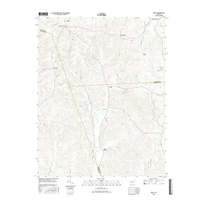
2016 Map of Ready
USGS Topo · Published 2016About this map
Big Reedy Creek and its many branches, including the West Fork Big Reedy Creek, carve a complex drainage pattern through this corner of the Kentucky hills. This landscape is defined by its small, scattered settlements such as Ready, Windyville, and Nash, which are linked by a network of winding ridge-top and valley-floor roads like Ready Jackson Road and Huff Ridge Road. The confluence of Grayson, Butler, and Edmonson counties creates a unique jurisdictional intersection near the community of Big Reedy. Local family history is rooted in sites like Woosley Cemetery near Decker and Preston Cemetery to the east. The terrain is marked by deep incisions such as Woodbury Hollow and Rowe Hollow, while larger waterways like Sunfish Creek flow toward the regional river systems, illustrating the enduring rural character of the area.
Find a feature on this map
53 named features on this map. Tap any name to fly to it.
Don’t see what you’re looking for? This feature index may not catch every label — zoom into the map to look around manually.
Map Details
Editions of this 2016 Ready Map
This is the sole edition of this map. No revisions or reprints were ever made.
Other maps of this area

1914 · Little Muddy
USGS Topo · 1:62,500

1922 · Leitchfield
USGS Topo · 1:48,000

1922 · Brownsville
USGS Topo · 1:62,500

1923 · Brownsville
USGS Topo · 1:62,500

1925 · Spring Lick
USGS Topo · 1:62,500

1925 · Leitchfield
USGS Topo · 1:62,500

1953 · Ready
USGS Topo · 1:24,000

1953 · Bee Spring
USGS Topo · 1:24,000

1954 · Evansville
USGS Topo · 1:250,000

1954 · Spring Lick
USGS Topo · 1:24,000