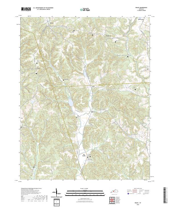
2022 Map of Ready
USGS Topo · Published 2022About this map
The intersection of Butler, Grayson, and Edmonson counties reveals a landscape of winding creek valleys and ancestral burial grounds. This modern topography centers on the settlement of Big Reedy, where the Old Big Reedy Cem and the Big Reedy Church of Christ Cem anchor the local community. The drainage of W Fork Big Reedy Cr dominates the central terrain, creating a network of ridges and hollows such as Rowe Hollow. Small rural crossroads like Decker, Windyville, and Ready are connected by a web of historic routes including Bowling Green Rd and Rabbit Flat Rd. The map is particularly notable for genealogists due to the density of family-named landmarks and cemeteries, from the Dan Woosley Pioneer Cem to the Renfrow Family Cem, illustrating generations of settlement across these Kentucky hills.
Find a feature on this map
73 named features on this map. Tap any name to fly to it.
Don’t see what you’re looking for? This feature index may not catch every label — zoom into the map to look around manually.
Map Details
Editions of this 2022 Ready Map
This is the sole edition of this map. No revisions or reprints were ever made.
Other maps of this area

1914 · Little Muddy
USGS Topo · 1:62,500

1922 · Leitchfield
USGS Topo · 1:48,000

1922 · Brownsville
USGS Topo · 1:62,500

1923 · Brownsville
USGS Topo · 1:62,500

1925 · Spring Lick
USGS Topo · 1:62,500

1925 · Leitchfield
USGS Topo · 1:62,500

1953 · Ready
USGS Topo · 1:24,000

1953 · Bee Spring
USGS Topo · 1:24,000

1954 · Evansville
USGS Topo · 1:250,000

1954 · Spring Lick
USGS Topo · 1:24,000