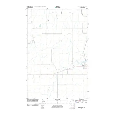
2011 Map of Reardan West
USGS Topo · Published 2011About this map
Reardan stands as the primary settlement on this Lincoln County landscape, situated at the junction of several regional transit routes. The terrain is defined by a series of significant drainage features, including Tamarack Canyon, Smeltzer Canyon, and Spring Creek Canyon, which all feed into the meandering course of Crab Creek. This waterway serves as the central hydrological artery for the region, flowing past Gettys Butte and through the southeastern portion of the quadrangle.
Find a feature on this map
43 named features on this map. Tap any name to fly to it.
Don’t see what you’re looking for? This feature index may not catch every label — zoom into the map to look around manually.
Map Details
Editions of this 2011 Reardan West Map
This is the sole edition of this map. No revisions or reprints were ever made.
Other maps of this area

1944 · Wellpinit
USGS Topo · 1:62,500

1945 · Reardan
USGS Topo · 1:62,500

1948 · Turtle Lake
USGS Topo · 1:62,500

1950 · Turtle Lake
USGS Topo · 1:62,500

1953 · Reardan
USGS Topo · 1:62,500

1953 · Wellpinit
USGS Topo · 1:62,500

1953 · Ritzville
USGS Topo · 1:250,000

1955 · Spokane
USGS Topo · 1:250,000

1958 · Spokane
USGS Topo · 1:250,000

1959 · Ritzville
USGS Topo · 1:250,000