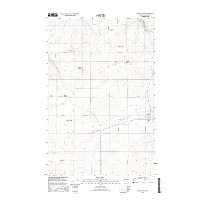
2017 Map of Reardan West
USGS Topo · Published 2017About this map
Reardan sits at the eastern edge of this agricultural landscape in Lincoln County, where the high plateau of the Inland Northwest is carved by a series of dramatic coulees and canyons. The terrain is defined by deep incisions such as Smeltzer Canyon, Spring Creek Canyon, and Tamarack Canyon, which break up the geometric precision of the township and range section lines. Water is a scarce but defining presence, found in the seasonal flows of Crab Creek and Spring Creek, and the isolated waters of Laupp Lake.
Find a feature on this map
52 named features on this map. Tap any name to fly to it.
Don’t see what you’re looking for? This feature index may not catch every label — zoom into the map to look around manually.
Map Details
Editions of this 2017 Reardan West Map
This is the sole edition of this map. No revisions or reprints were ever made.
Other maps of this area

1944 · Wellpinit
USGS Topo · 1:62,500

1945 · Reardan
USGS Topo · 1:62,500

1948 · Turtle Lake
USGS Topo · 1:62,500

1950 · Turtle Lake
USGS Topo · 1:62,500

1953 · Reardan
USGS Topo · 1:62,500

1953 · Wellpinit
USGS Topo · 1:62,500

1953 · Ritzville
USGS Topo · 1:250,000

1955 · Spokane
USGS Topo · 1:250,000

1958 · Spokane
USGS Topo · 1:250,000

1959 · Ritzville
USGS Topo · 1:250,000