
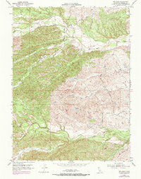
1952 Map of Red Bank
USGS Topo · Published 1953About this map
Red Bank sits within a landscape defined by an intricate network of drainages and ranching infrastructure in the early 1950s. The settlement is positioned near the junction of several prominent watercourses, including the North Fork Red Bank Creek and Pigeon Creek. The terrain is marked by distinctive local names such as Hungry Hollow, Vale Gulch, and Elk Flat, reflecting the rural character of this northern California region.
Find a feature on this map
19 named features on this map. Tap any name to fly to it.
Don’t see what you’re looking for? This feature index may not catch every label — zoom into the map to look around manually.
Map Details
Editions of this 1952 Red Bank Map
2 editions found
Other maps of this area

1890 · Red Bluff
USGS Topo · 1:250,000

1894 · Red Bluff
USGS Topo · 1:250,000

1944 · Flournoy
USGS Topo · 1:62,500

1949 · Colyear Springs
USGS Topo · 1:62,500

1951 · West of Gerber
USGS Topo · 1:24,000

1951 · Red Bluff West
USGS Topo · 1:24,000

1952 · Blossom
USGS Topo · 1:24,000

1952 · Paskenta
USGS Topo · 1:62,500

1952 · Red Bank
USGS Topo · 1:62,500

1957 · Colyear Springs
USGS Topo · 1:62,500