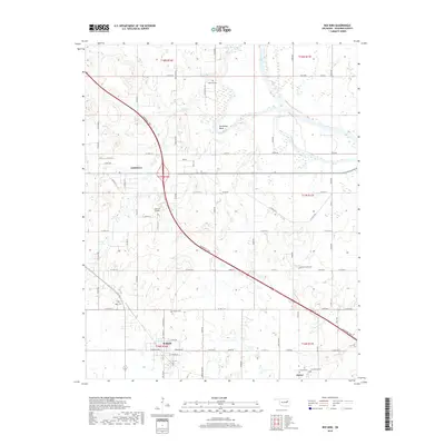
2018 Map of Red Bird
USGS Topo · Published 2018About this map
Coweta and the surrounding river bottoms of Wagoner County are defined by the winding course of the Verdigris River and its varied tributaries. The landscape is a mosaic of agriculture and small-town settlement, anchored by the community of Red Bird and the northern edge of Porter. This area is particularly dense with genealogical markers, featuring numerous local burial grounds such as Hawkins Cem, Barber Cem, and Beck Cem. The Verdigris River cuts through the northeast, creating distinct landforms like Horseshoe Bend, while the modern Muskogee Tpke provides a high-speed transit corridor across the rural sections. Evidence of local aviation is seen at Jantzen Airport, and the southern townships around Porter are documented with details like Greenwood Cem and Lincoln Cem, offering a comprehensive view of the local landscape's development.
Find a feature on this map
47 named features on this map. Tap any name to fly to it.
Don’t see what you’re looking for? This feature index may not catch every label — zoom into the map to look around manually.
Map Details
Editions of this 2018 Red Bird Map
This is the sole edition of this map. No revisions or reprints were ever made.
Other maps of this area

1896 · Okmulgee
USGS Topo · 1:125,000

1896 · Pryor
USGS Topo · 1:125,000

1900 · Okmulgee
USGS Topo · 1:125,000

1901 · Muscogee
USGS Topo · 1:125,000

1901 · Claremore
USGS Topo · 1:125,000

1901 · Pryor
USGS Topo · 1:125,000

1905 · Muscogee
USGS Topo · 1:125,000

1914 · Claremore
USGS Topo · 1:125,000

1916 · Claremore
USGS Topo · 1:125,000

1946 · Fort Smith
USGS Topo · 1:250,000