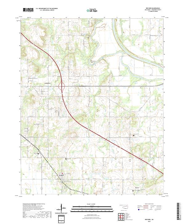
2022 Map of Red Bird
USGS Topo · Published 2022About this map
The Verdigris River carves a winding path through this portion of Wagoner County, most notably at the sharp oxbow known as Horseshoe Bend. This riverine landscape supports a mix of small municipal centers and rural cemetery sites that offer significant value for genealogical research. The town of Redbird sits in the southwestern quadrant, serving as a focal point for local history along with the nearby Porter and the eastern edge of Coweta.
Find a feature on this map
46 named features on this map. Tap any name to fly to it.
Don’t see what you’re looking for? This feature index may not catch every label — zoom into the map to look around manually.
Map Details
Editions of this 2022 Red Bird Map
This is the sole edition of this map. No revisions or reprints were ever made.
Other maps of this area

1896 · Okmulgee
USGS Topo · 1:125,000

1896 · Pryor
USGS Topo · 1:125,000

1900 · Okmulgee
USGS Topo · 1:125,000

1901 · Muscogee
USGS Topo · 1:125,000

1901 · Claremore
USGS Topo · 1:125,000

1901 · Pryor
USGS Topo · 1:125,000

1905 · Muscogee
USGS Topo · 1:125,000

1914 · Claremore
USGS Topo · 1:125,000

1916 · Claremore
USGS Topo · 1:125,000

1946 · Fort Smith
USGS Topo · 1:250,000