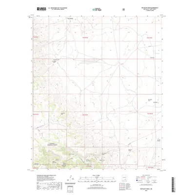
2020 Map of Red Bluff Draw
USGS Topo · Published 2020About this map
Lincoln National Forest occupies the southwestern quadrant of this landscape, where the northern reaches of the Guadalupe Mountains rise above the surrounding desert floor. The terrain is defined by a dense network of drainages and canyons, including the steep-walled Last Chance Canyon and the prominent Sitting Bull landform. The presence of Natural Bridge near White Oaks Canyon highlights the area's complex limestone geology. Settlement is nearly non-existent, centered only at the small locality of Four Wells in the north. This lack of development is countered by a system of rugged roads, such as the National Livestock Road, which facilitate ranching and resource management across the arid flats of Bogle Flats and into the higher timbered elevations.
Find a feature on this map
36 named features on this map. Tap any name to fly to it.
Don’t see what you’re looking for? This feature index may not catch every label — zoom into the map to look around manually.
Map Details
Editions of this 2020 Red Bluff Draw Map
This is the sole edition of this map. No revisions or reprints were ever made.
Other maps of this area
1935 · El Paso Gap
USGS Topo · 1:62,500
1936 · El Paso Gap
USGS Topo · 1:48,000
1940 · El Paso Gap
USGS Topo · 1:62,500
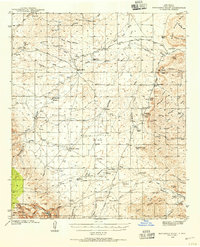
1940 · Bandanna Point
USGS Topo · 1:62,500
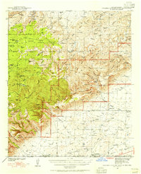
1940 · Carlsbad Caverns West
USGS Topo · 1:62,500
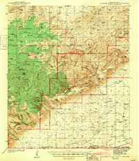
1943 · Carlsbad Caverns West
USGS Topo · 1:62,500
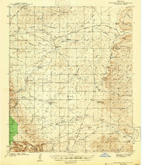
1943 · Bandanna Point
USGS Topo · 1:62,500
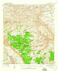
1943 · Texas Hill
USGS Topo · 1:62,500
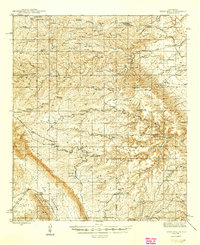
1945 · Texas Hill
USGS Topo · 1:62,500

1954 · Carlsbad
USGS Topo · 1:250,000