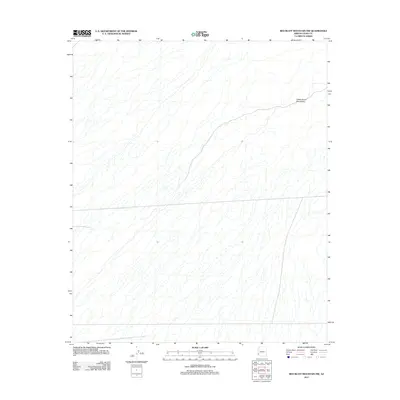
2011 Map of Red Bluff Mountain NW
USGS Topo · Published 2011About this map
The Castle Dome Mountains dominate the northeastern portion of this arid Yuma County landscape, where the terrain is defined by an intricate network of desert washes and drainage patterns. This 2011 survey, conducted by the U. S. Geological Survey, illustrates the complex topography of a region marked by steep elevation changes and alluvial fans. The map reveals the natural drainage systems that have carved the land over time, showcasing a stark desert environment where geological features are the primary landmarks. The absence of modern development or named settlements underscores the isolated nature of this corner of Arizona, making it an essential reference for understanding the physical geography and natural boundaries of the Southwest.
Find a feature on this map
1 named feature on this map. Tap any name to fly to it.
Don’t see what you’re looking for? This feature index may not catch every label — zoom into the map to look around manually.
Map Details
Editions of this 2011 Red Bluff Mountain NW Map
This is the sole edition of this map. No revisions or reprints were ever made.
Other maps of this area

1929 · Laguna
USGS Topo · 1:62,500

1939 · Red Hill
USGS Topo · 1:62,500

1942 · Yuma
USGS Topo · 1:250,000

1942 · Blythe
USGS Topo · 1:250,000

1943 · Laguna
USGS Topo · 1:62,500

1954 · El Centro
USGS Topo · 1:250,000

1954 · Salton Sea
USGS Topo · 1:250,000

1954 · Red Hill
USGS Topo · 1:62,500

1955 · Salton Sea
USGS Topo · 1:250,000

1955 · El Centro
USGS Topo · 1:250,000