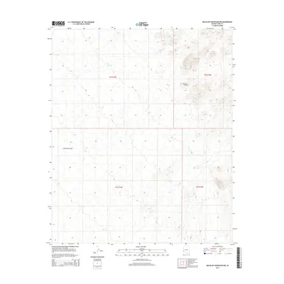
2014 Map of Red Bluff Mountain NW
USGS Topo · Published 2014About this map
Castle Dome Plain defines the broad, arid expanse of this southwestern Arizona landscape, situated within the transition between several townships including t5s r19w and t6s r18w. The terrain is characterized by intricate drainage patterns and subtle elevation shifts, most notably marked by a Natural Arch in the northeastern section of the quadrangle. This 2014 survey by the U.S. Geological Survey provides a precise topographic look at the land's natural geometry, illustrating the dry washes and alluvial fans that cross the plains. While the map is sparse in terms of modern infrastructure, it preserves the exact location of geological curiosities and official boundary divisions in Yuma County.
Find a feature on this map
6 named features on this map. Tap any name to fly to it.
Don’t see what you’re looking for? This feature index may not catch every label — zoom into the map to look around manually.
Map Details
Editions of this 2014 Red Bluff Mountain NW Map
This is the sole edition of this map. No revisions or reprints were ever made.
Other maps of this area

1929 · Laguna
USGS Topo · 1:62,500

1939 · Red Hill
USGS Topo · 1:62,500

1942 · Yuma
USGS Topo · 1:250,000

1942 · Blythe
USGS Topo · 1:250,000

1943 · Laguna
USGS Topo · 1:62,500

1954 · El Centro
USGS Topo · 1:250,000

1954 · Salton Sea
USGS Topo · 1:250,000

1954 · Red Hill
USGS Topo · 1:62,500

1955 · Salton Sea
USGS Topo · 1:250,000

1955 · El Centro
USGS Topo · 1:250,000