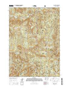
2014 Map of Red Butte
USGS Topo · Published 2014About this map
Umpqua National Forest defines the high-elevation landscape of this Douglas County region, where steep drainages and prominent peaks dictate the layout of the land. The hydrology is centered on the Little River, which receives numerous tributaries including Eggleston Cr and Wolf Cr. For those tracking the geographic landmarks of the Cascades, the map identifies significant vertical features such as Red Butte, Sampson Butte, and Negro Ridge.
Find a feature on this map
29 named features on this map. Tap any name to fly to it.
Don’t see what you’re looking for? This feature index may not catch every label — zoom into the map to look around manually.
Map Details
Editions of this 2014 Red Butte Map
This is the sole edition of this map. No revisions or reprints were ever made.
Other maps of this area

1897 · Roseburg
USGS Topo · 1:125,000

1900 · Roseburg
USGS Topo · 1:125,000

1954 · Dixonville
USGS Topo · 1:62,500

1954 · Glide
USGS Topo · 1:62,500

1955 · Red Butte
USGS Topo · 1:62,500

1955 · Mace Mtn
USGS Topo · 1:62,500

1958 · Roseburg
USGS Topo · 1:250,000

1959 · Roseburg
USGS Topo · 1:250,000

1978 · Diamond Lake
USGS Topo · 1:100,000

1979 · Roseburg
USGS Topo · 1:100,000