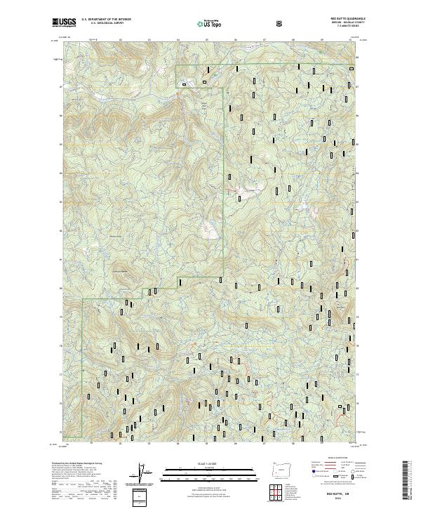
2024 Map of Red Butte
USGS Topo · Published 2024About this map
The Umpqua National Forest defines this high-elevation landscape in Douglas County, where steep drainages and isolated peaks create a complex network of forest roads and hiking trails. Dominating the topography are prominent summits like Sampson Butte and the namesake Red Butte, which rise above a terrain marked by deep ravines and unique natural flats such as Sugar Pine Flat. The hydrology of the area is centered on the Little River and its numerous tributaries, including Wolf Creek, Cavitt Creek, and Boundary Creek.
Find a feature on this map
53 named features on this map. Tap any name to fly to it.
Don’t see what you’re looking for? This feature index may not catch every label — zoom into the map to look around manually.
Map Details
Editions of this 2024 Red Butte Map
This is the sole edition of this map. No revisions or reprints were ever made.
Other maps of this area

1897 · Roseburg
USGS Topo · 1:125,000

1900 · Roseburg
USGS Topo · 1:125,000

1954 · Dixonville
USGS Topo · 1:62,500

1954 · Glide
USGS Topo · 1:62,500

1955 · Red Butte
USGS Topo · 1:62,500

1955 · Mace Mtn
USGS Topo · 1:62,500

1958 · Roseburg
USGS Topo · 1:250,000

1959 · Roseburg
USGS Topo · 1:250,000

1978 · Diamond Lake
USGS Topo · 1:100,000

1979 · Roseburg
USGS Topo · 1:100,000