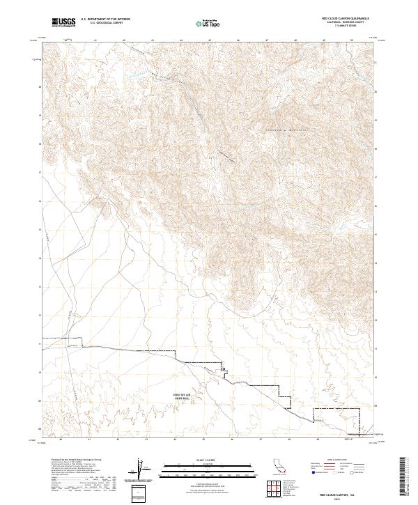
2021 Map of Red Cloud Canyon
USGS Topo · Published 2021About this map
The Chuckwalla Mountains dominate this arid landscape, a region defined by steep relief and the complex drainage networks of the Sonoran Desert. The map centers on the dramatic Red Cloud Canyon, where the Red Cloud Wash carries seasonal runoff through the highlands. Transportation into this remote interior is marked by historic desert routes including Bradshaw Rd and Red Cloud Mine Rd, paths that once served prospectors and early travelers across the Riverside County backcountry. Significant natural features like Crystal Springs Canyon and Irish Wash illustrate the intricate erosion patterns of the range. The grid lines of the Public Land Survey System, such as t7s r15e, overlay these geological formations, highlighting the intersection of formal government surveying with the raw topography of the canyonlands.
Find a feature on this map
16 named features on this map. Tap any name to fly to it.
Don’t see what you’re looking for? This feature index may not catch every label — zoom into the map to look around manually.
Map Details
Editions of this 2021 Red Cloud Canyon Map
This is the sole edition of this map. No revisions or reprints were ever made.
Other maps of this area

1940 · Frink
USGS Topo · 1:62,500

1940 · Iris Pass
USGS Topo · 1:62,500

1940 · Canyon Spring
USGS Topo · 1:62,500

1943 · Canyon Spring
USGS Topo · 1:62,500

1944 · Chuckwalla Mountains
USGS Topo · 1:62,500

1944 · Frink
USGS Topo · 1:62,500

1945 · Iris Pass
USGS Topo · 1:62,500

1954 · Salton Sea
USGS Topo · 1:250,000

1955 · Salton Sea
USGS Topo · 1:250,000
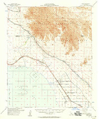
1956 · Frink
USGS Topo · 1:62,500