
1970 Map of Red Desert NW
USGS Topo · Published 1973About this map
The Continental Divide passes through this desolate stretch of Sweetwater County, marking a high point in the arid terrain of the Red Desert Basin (Depression). In the early 1970s, the landscape was defined by industrial infrastructure and transit corridors cutting through the sagebrush. The Union Pacific railroad serves as the primary southern artery, flanked by modern utilities including a Pipeline and multiple Pipelines that follow the rail grade. This era of land use is characterized by resource exploration, evidenced by scattered Wells and a Drill Hole in the central basin. Remote access is provided by the Red Desert Road and various unnamed tracks, while natural drainage like Red Desert Wash provides the only significant break in the topography. The map illustrates a moment when the region's historical role as a transit corridor evolved to support energy and material transport.
Find a feature on this map
14 named features on this map. Tap any name to fly to it.
Don’t see what you’re looking for? This feature index may not catch every label — zoom into the map to look around manually.
Map Details
Editions of this 1970 Red Desert NW Map
This is the sole edition of this map. No revisions or reprints were ever made.
Other maps of this area

1954 · Rock Springs
USGS Topo · 1:250,000

1958 · Rock Springs
USGS Topo · 1:250,000

1960 · Red Lake
USGS Topo · 1:62,500

1960 · Lost Creek Butte
USGS Topo · 1:62,500

1962 · Rock Springs
USGS Topo · 1:250,000

1970 · Red Desert SW
USGS Topo · 1:24,000
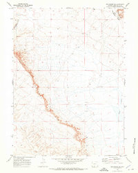
1970 · Red Desert SE
USGS Topo · 1:24,000

1970 · J O Dugway
USGS Topo · 1:24,000

1970 · Tipton
USGS Topo · 1:24,000
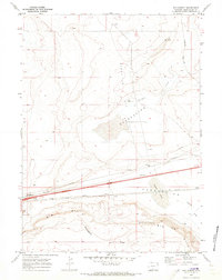
1970 · Red Desert
USGS Topo · 1:24,000