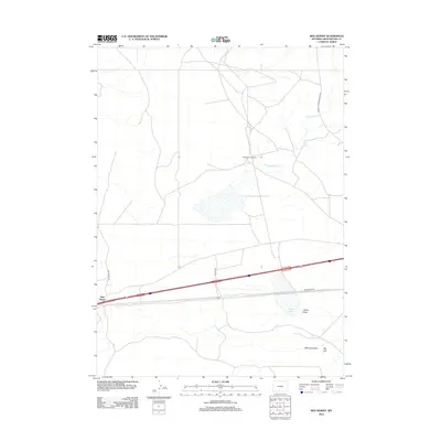
2012 Map of Red Desert
USGS Topo · Published 2012About this map
Red Desert and the small siding of Frewen anchor this high-desert landscape in Sweetwater County, where transportation and resource extraction define the local geography. The area is characterized by vast drainage systems like Latham Draw and irrigation infrastructure including Fivemile Ditch and Threemile Ditch, which support the arid environment. Industrial development is visible through the Wamsutter Gas Field, a significant presence that underscores the region's economic reliance on energy production.
Find a feature on this map
14 named features on this map. Tap any name to fly to it.
Don’t see what you’re looking for? This feature index may not catch every label — zoom into the map to look around manually.
Map Details
Editions of this 2012 Red Desert Map
This is the sole edition of this map. No revisions or reprints were ever made.
Other maps of this area

1954 · Rawlins
USGS Topo · 1:250,000

1954 · Rock Springs
USGS Topo · 1:250,000

1958 · Rawlins
USGS Topo · 1:250,000

1958 · Rock Springs
USGS Topo · 1:250,000

1960 · Lost Creek Butte
USGS Topo · 1:62,500

1962 · Rawlins
USGS Topo · 1:250,000

1962 · Rock Springs
USGS Topo · 1:250,000

1966 · Wamsutter
USGS Topo · 1:24,000

1966 · Monument Lake
USGS Topo · 1:24,000

1966 · Eightmile Lake
USGS Topo · 1:24,000