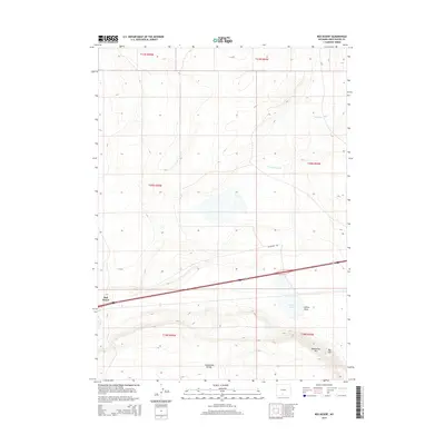
2015 Map of Red Desert
USGS Topo · Published 2015About this map
The Continental Divide defines the southern portion of this high-altitude landscape in Sweetwater County, where the topography transitions from the sweeping Latham Draw toward the rising elevations of the Wamsutter Rim. This 2015 survey illustrates a region shaped by modern transportation and early water management efforts, anchored by the settlement of Red Desert along the Interstate 80 corridor. Human presence is etched into the arid terrain through features like Fivemile Ditch and Threemile Ditch, which reflect the historic necessity of water diversion in this part of Wyoming. Further east, Big Hill provides a distinct landmark overlooking Frewen Lake, while a network of local routes such as Rasmussen Rd and CR 23 connect the sparse ranching and utility corridors of the Great Divide Basin.
Find a feature on this map
17 named features on this map. Tap any name to fly to it.
Don’t see what you’re looking for? This feature index may not catch every label — zoom into the map to look around manually.
Map Details
Editions of this 2015 Red Desert Map
This is the sole edition of this map. No revisions or reprints were ever made.
Other maps of this area

1954 · Rawlins
USGS Topo · 1:250,000

1954 · Rock Springs
USGS Topo · 1:250,000

1958 · Rawlins
USGS Topo · 1:250,000

1958 · Rock Springs
USGS Topo · 1:250,000

1960 · Lost Creek Butte
USGS Topo · 1:62,500

1962 · Rawlins
USGS Topo · 1:250,000

1962 · Rock Springs
USGS Topo · 1:250,000

1966 · Wamsutter
USGS Topo · 1:24,000

1966 · Monument Lake
USGS Topo · 1:24,000

1966 · Eightmile Lake
USGS Topo · 1:24,000