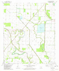
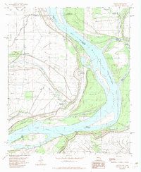
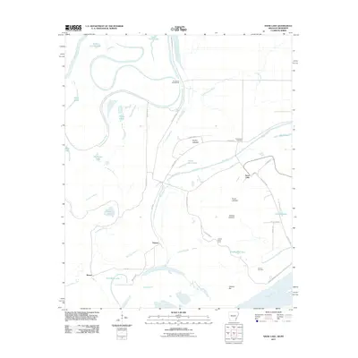
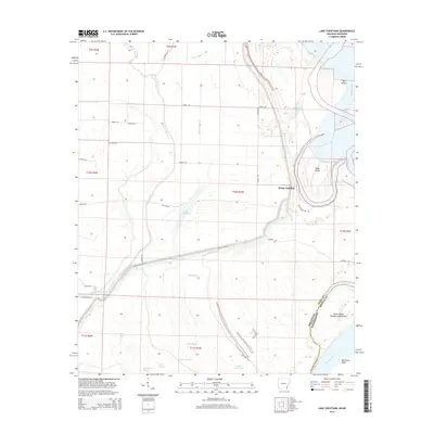
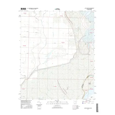
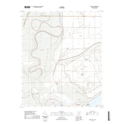
1935 Map of Red Fork
USGS Topo · Published 1946About this map
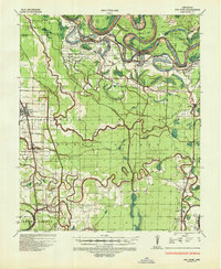
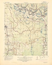
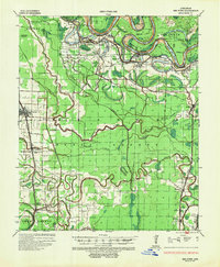
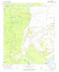
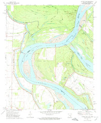
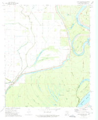
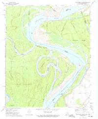
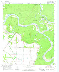
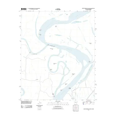
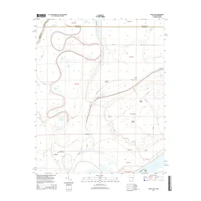
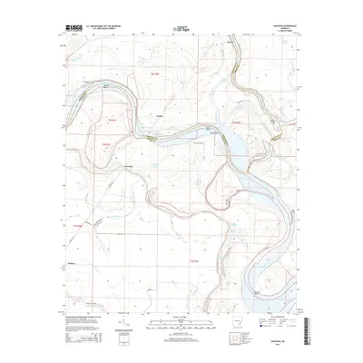
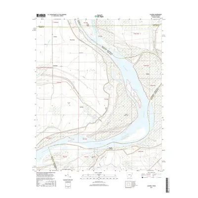
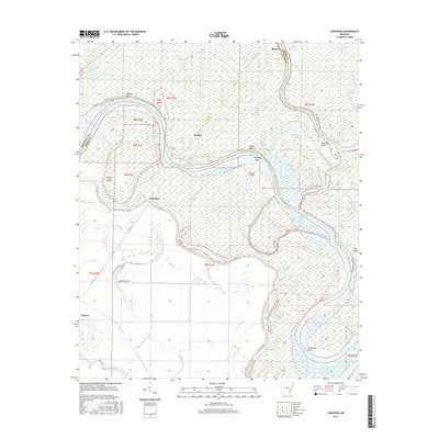
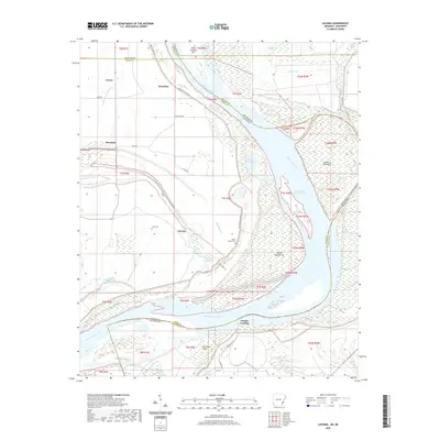
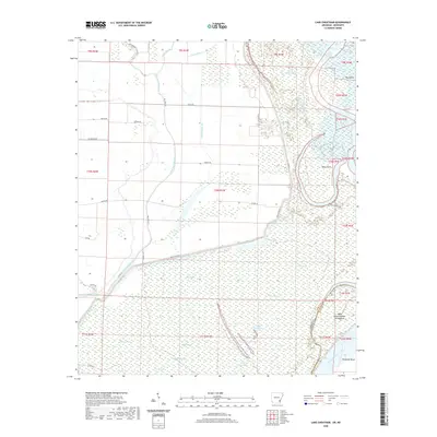
The Arkansas River dominates this mid-1930s landscape, its serpentine path defining the borders of Desha, Lincoln, and Arkansas counties. The river's dynamics are captured through numerous named bends and reaches, such as Almond Bend and Fletcher Bend, while abandoned meanders form oxbows like Silver Lake and Lake Dumond. This era reflects a period of intensive flood control following the Flood Control Act of 1935, visible in the levee systems and revetments that line the riverbanks.
Find a feature on this map
49 named features on this map. Tap any name to fly to it.
Don’t see what you’re looking for? This feature index may not catch every label — zoom into the map to look around manually.
Map Details
Editions of this 1935 Red Fork Map
3 editions found
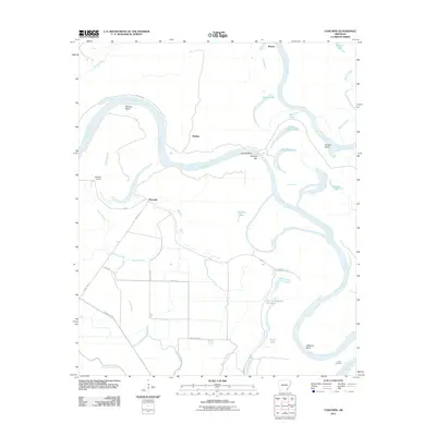
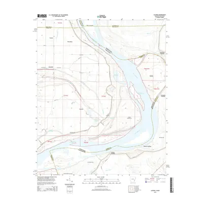
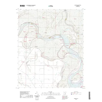
Historical Maps of Dumas Through Time
54 maps found
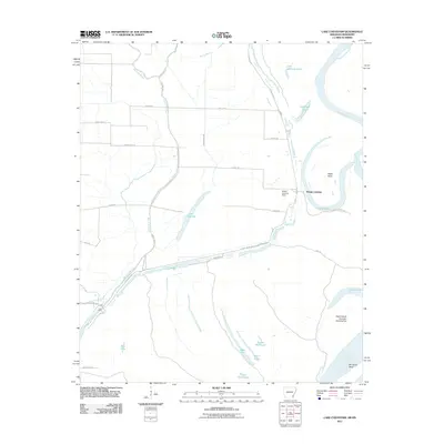
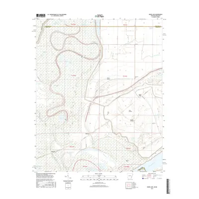
1935 Red Fork
Desha County, AR
1939 Big Island
Desha County, AR
1967 Snow Lake
Desha County, AR

1969 Kelso
Desha County, AR
1972 Catfish Point
Desha County, AR
1972 Lake Cheatham
Desha County, AR
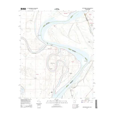
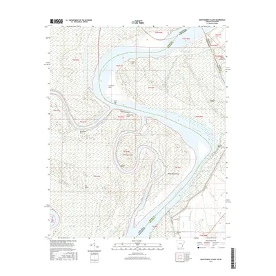
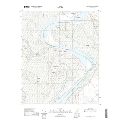
1972 Montgomery Island
Desha County, AR
1972 Yancopin
Desha County, AR
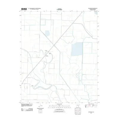
1975 Mc Gehee NE
Desha County, AR
1975 Mc Gehee NW
Desha County, AR
1975 Mc Gehee SE
Desha County, AR
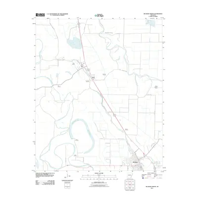
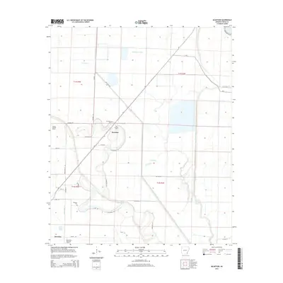
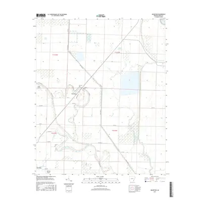
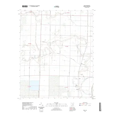
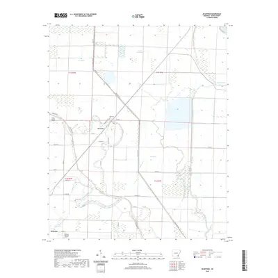
1981 Mc Arthur
Desha County, AR

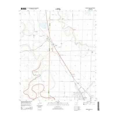
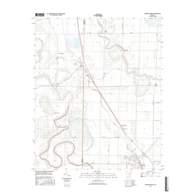
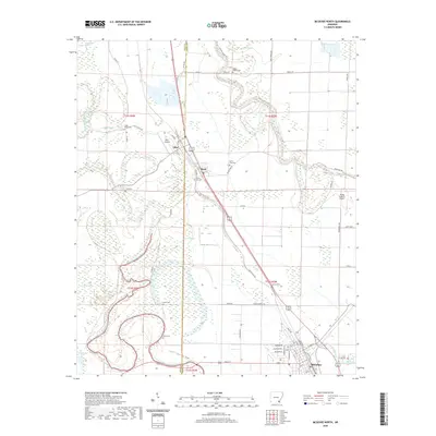
1981 Mc Gehee North
Desha County, AR
1982 Laconia
Desha County, AR
2011 Kelso
Desha County, AR
2011 Laconia
Desha County, AR
2011 Lake Cheatham
Desha County, AR
2011 McArthur
Desha County, AR
2011 McGehee North
Desha County, AR
2011 Montgomery Island
Desha County, AR
2011 Snow Lake
Desha County, AR
2011 Yancopin
Desha County, AR
2014 Kelso
Desha County, AR
2014 Laconia
Desha County, AR
2014 Lake Cheatham
Desha County, AR
2014 McArthur
Desha County, AR
2014 McGehee North
Desha County, AR
2014 Montgomery Island
Desha County, AR
2014 Snow Lake
Desha County, AR
2014 Yancopin
Desha County, AR
2017 Kelso
Desha County, AR
2017 Laconia
Desha County, AR
2017 Lake Cheatham
Desha County, AR
2017 McArthur
Desha County, AR
2017 McGehee North
Desha County, AR
2017 Montgomery Island
Desha County, AR
2017 Snow Lake
Desha County, AR
2017 Yancopin
Desha County, AR
2020 Kelso
Desha County, AR
2020 Laconia
Desha County, AR
2020 Lake Cheatham
Desha County, AR
2020 McArthur
Desha County, AR
2020 McGehee North
Desha County, AR
2020 Montgomery Island
Desha County, AR
2020 Snow Lake
Desha County, AR
2020 Yancopin
Desha County, AR
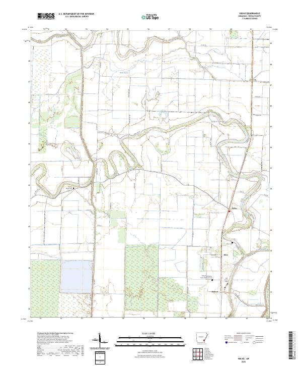
2024 Kelso
Desha County, AR
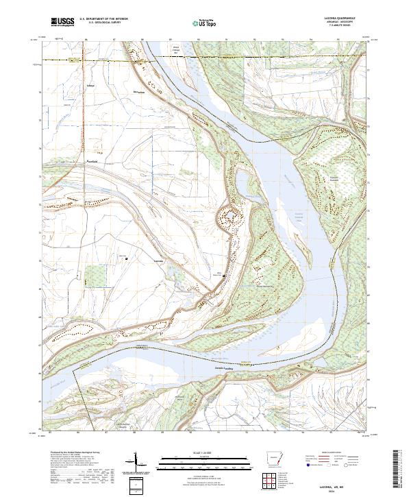
2024 Laconia
Desha County, AR
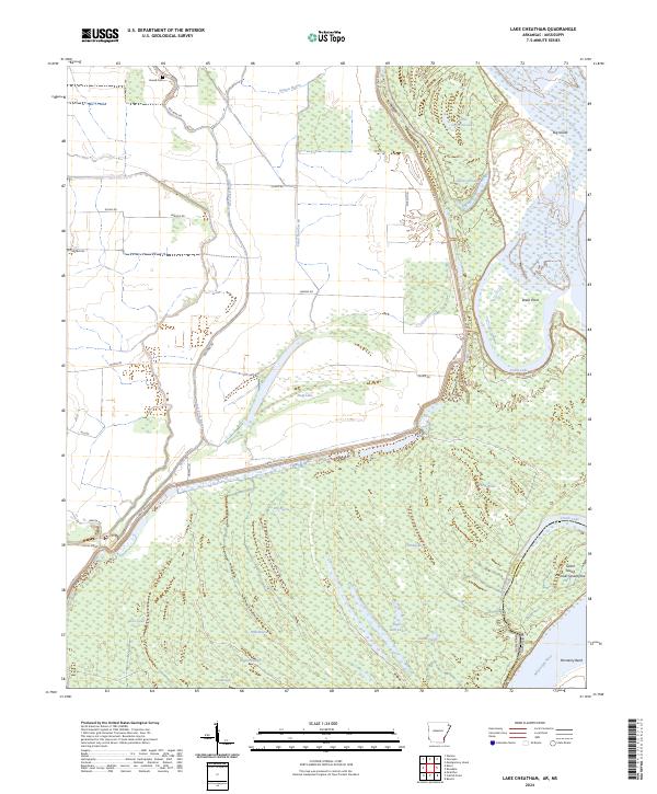
2024 Lake Cheatham
Desha County, AR
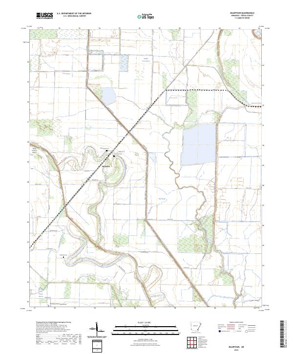
2024 McArthur
Desha County, AR
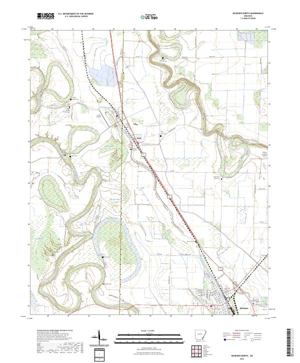
2024 McGehee North
Desha County, AR
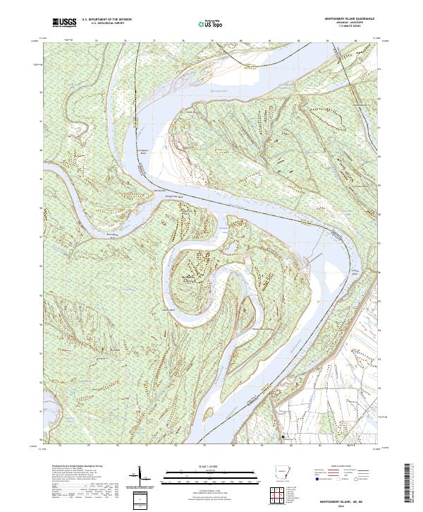
2024 Montgomery Island
Desha County, AR
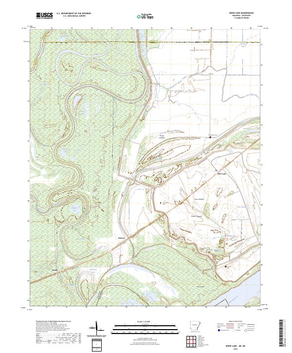
2024 Snow Lake
Desha County, AR
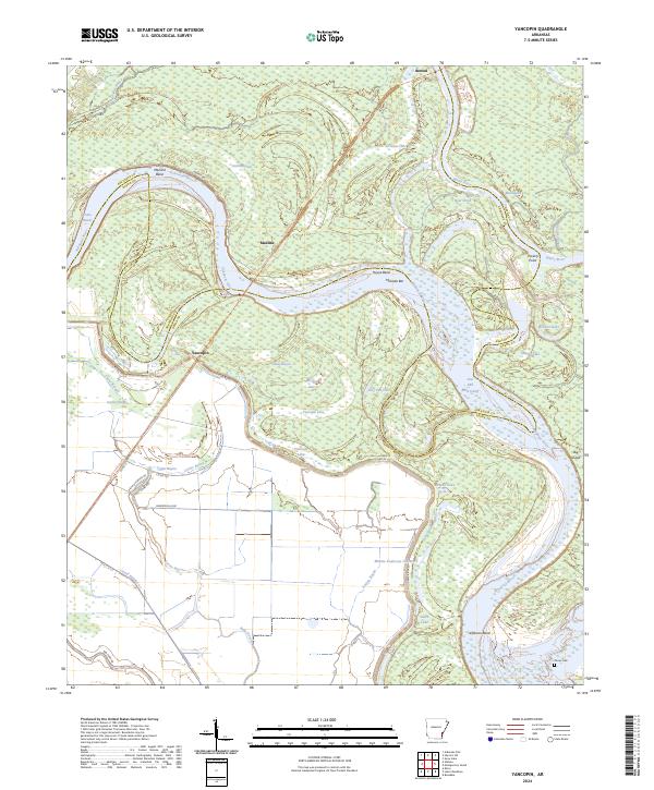
2024 Yancopin
Desha County, AR