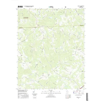
2017 Map of Red Hill
USGS Topo · Published 2017About this map
The North Fork Broad River and Middle Fork Broad River carve through this landscape at the junction of Stephens and Franklin Counties. Small rural settlements like Mize and Red Hill anchor a network of local roads, while the Chattahoochee National Forest reaches into the western edge of the quadrangle. The area is defined by its water resources, with numerous private impoundments such as Teasley Lake, Pruitt Lake, and Cagle Lake dotting the terrain between the river forks.
Find a feature on this map
138 named features on this map. Tap any name to fly to it.
Don’t see what you’re looking for? This feature index may not catch every label — zoom into the map to look around manually.
Map Details
Editions of this 2017 Red Hill Map
This is the sole edition of this map. No revisions or reprints were ever made.
Other maps of this area

1886 · Walhalla
USGS Topo · 1:125,000

1891 · Carnesville
USGS Topo · 1:125,000

1892 · Walhalla
USGS Topo · 1:125,000

1896 · Walhalla
USGS Topo · 1:125,000

1954 · Greenville
USGS Topo · 1:250,000

1958 · Greenville
USGS Topo · 1:250,000

1959 · Carnesville
USGS Topo · 1:24,000

1960 · Martin
USGS Topo · 1:24,000
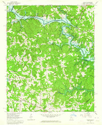
1963 · Avalon
USGS Topo · 1:24,000
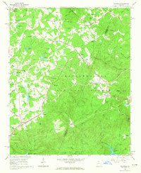
1964 · Ayersville
USGS Topo · 1:24,000