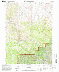
1998 Map of Red Hole
USGS Topo · Published 2001About this map
Chalk Creek and its many tributaries, including the East Fork and Middle Fork, dominate this 1990s terrain along the Utah-Wyoming border. Managed by the Evanston Ranger District, much of the area falls within the Wasatch National Forest, characterized by high ridges and significant infrastructure like the prominent Pipeline corridors crossing the topography. The map details a landscape transition where ranching outposts like Angard Ranch and Rigby Ranch sit near the rugged elevations of Porcupine Ridge. Recreational and resource management sites are documented, including the Pine Cliff Camp and a Gaging Sta along the water. In the southern portion, Joyce Lake and Boyer Lake provide key landmarks for those navigating the high country within Summit County.
Find a feature on this map
17 named features on this map. Tap any name to fly to it.
Don’t see what you’re looking for? This feature index may not catch every label — zoom into the map to look around manually.
Map Details
Editions of this 1998 Red Hole Map
2 editions found
Other maps of this area

1885 · Salt Lake
USGS Topo · 1:250,000

1885 · Uinta
USGS Topo · 1:250,000

1900 · Coalville
USGS Topo · 1:125,000

1901 · Hayden Peak
USGS Topo · 1:125,000

1903 · Hayden Peak
USGS Topo · 1:125,000

1903 · Coalville
USGS Topo · 1:125,000

1954 · Salt Lake City
USGS Topo · 1:250,000

1954 · Ogden
USGS Topo · 1:250,000

1958 · Ogden
USGS Topo · 1:250,000

1958 · Salt Lake City
USGS Topo · 1:250,000