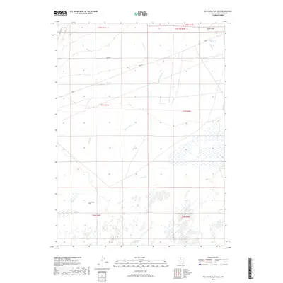
2018 Map of Red House Flat East
USGS Topo · Published 2018About this map
Red House Flat serves as the central focal point of this arid basin, where seasonal drainages and essential water sources define the human and natural activity of the region. The landscape is interconnected by the historic Midas Rd, which cuts across the terrain toward the northeast, and Getchel Rd in the upper northwest corner. Water remains the most critical resource in this part of Humboldt County, evidenced by named features like Bug Brush Spring and the isolated Prosperous Pond near the edge of Clover Valley. The drainage system is complex, with Summer Camp Cr, Kelly Cr, and Granite Cr carving ephemeral paths toward the flats. These named landmarks and water points provide essential context for understanding the ranching and transit history of the high desert before the turn of the 21st century.
Find a feature on this map
19 named features on this map. Tap any name to fly to it.
Don’t see what you’re looking for? This feature index may not catch every label — zoom into the map to look around manually.
Map Details
Editions of this 2018 Red House Flat East Map
This is the sole edition of this map. No revisions or reprints were ever made.
Other maps of this area

1882 · Paradise
USGS Topo · 1:250,000

1893 · Paradise
USGS Topo · 1:250,000

1932 · Sonoma Range
USGS Topo · 1:250,000

1939 · Sonoma Range
USGS Topo · 1:250,000

1945 · Osgood Mountains
USGS Topo · 1:62,500

1947 · Osgood Mountains
USGS Topo · 1:62,500

1955 · McDermitt
USGS Topo · 1:250,000

1955 · Winnemucca
USGS Topo · 1:250,000

1958 · Winnemucca
USGS Topo · 1:250,000

1959 · McDermitt
USGS Topo · 1:250,000