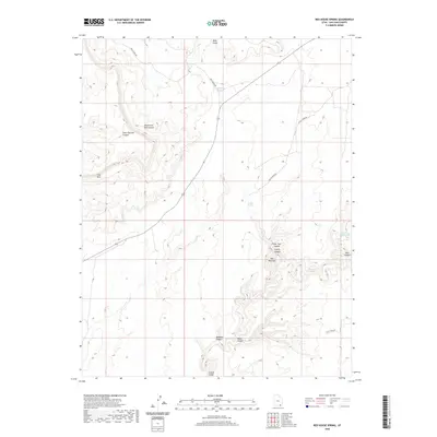
2020 Map of Red House Spring
USGS Topo · Published 2020About this map
Grand Gulch and the deeply eroded drainage systems of San Juan County define this 2020 topographical survey. The landscape is marked by a complex network of canyons, including Steer Pasture Canyon and South Fork Red Canyon to the west, which give way to the prominent Clay Hills. Critical water sources in this arid environment are meticulously noted, from Red House Spring in the north to the remote Big Pour Off Spring tucked into the eastern reaches.
Find a feature on this map
18 named features on this map. Tap any name to fly to it.
Don’t see what you’re looking for? This feature index may not catch every label — zoom into the map to look around manually.
Map Details
Editions of this 2020 Red House Spring Map
This is the sole edition of this map. No revisions or reprints were ever made.
Other maps of this area

1886 · Henry Mountains
USGS Topo · 1:250,000

1892 · Henry Mountains
USGS Topo · 1:250,000

1952 · Mancos Mesa
USGS Topo · 1:62,500

1952 · Natural Bridges
USGS Topo · 1:62,500

1954 · White Canyon 3 SE
USGS Topo · 1:24,000

1954 · White Canyon 4 SE
USGS Topo · 1:24,000

1954 · White Canyon 4 SW
USGS Topo · 1:24,000

1954 · Clay Hills 2 NE
USGS Topo · 1:24,000

1954 · Clay Hills 2 SE
USGS Topo · 1:24,000

1954 · Clay Hills 1 NW
USGS Topo · 1:24,000