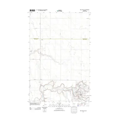
2013 Map of Red Lake Falls
USGS Topo · Published 2013About this map
The confluence of the Red Lake River and Clearwater River anchors the city of Red Lake Falls, serving as the primary geographic and social center of this Red Lake County landscape. The town's grid is dense with local landmarks, including the Red Lake County Fairgrounds and several recreational areas like Riverside Park Campground. North of the city, the land transitions into a vast agricultural expanse defined by a geometric section-line road network, where smaller settlements like Wylie and Hilltop sit along Co Hwy-12 and Co Hwy-1.
Find a feature on this map
45 named features on this map. Tap any name to fly to it.
Don’t see what you’re looking for? This feature index may not catch every label — zoom into the map to look around manually.
Map Details
Editions of this 2013 Red Lake Falls Map
This is the sole edition of this map. No revisions or reprints were ever made.
Other maps of this area

1918 · Terrebonne
USGS Topo · 1:62,500

1918 · Red Lake Falls
USGS Topo · 1:62,500

1918 · Viking
USGS Topo · 1:62,500

1943 · Thief River Falls
USGS Topo · 1:62,500

1952 · Red Lake Falls
USGS Topo · 1:62,500

1952 · Grand Forks
USGS Topo · 1:250,000

1952 · Thief River Falls
USGS Topo · 1:250,000

1956 · Thief River Falls
USGS Topo · 1:250,000

1956 · Grand Forks
USGS Topo · 1:250,000

1957 · Thief River Falls
USGS Topo · 1:250,000
Featured Places
- Red Lake Falls, MN
- Wylie, MN
- Oaks Mobile Home Court, Red Lake Falls
- Pennington County, MN
- Red Lake County, MN