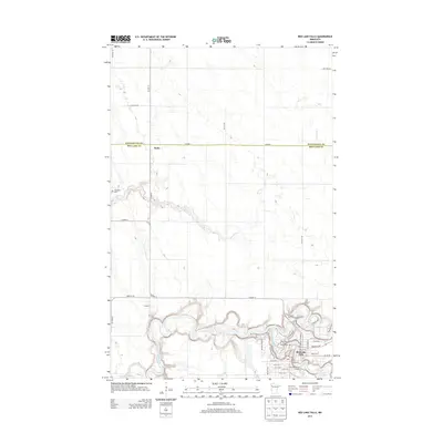
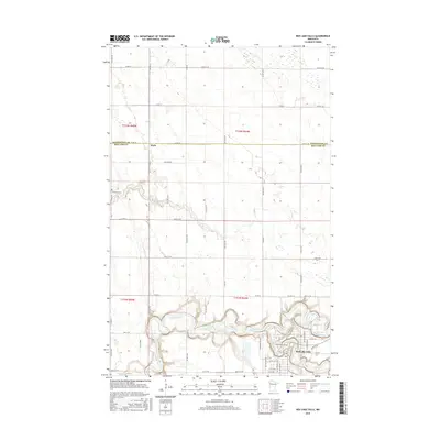
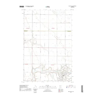
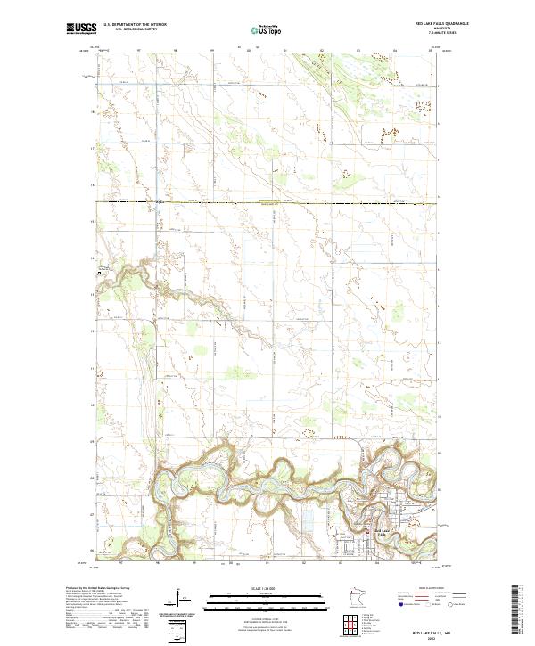
1982 Map of Red Lake Falls
USGS Topo · Published 1982About this map
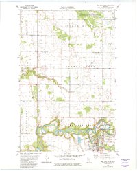
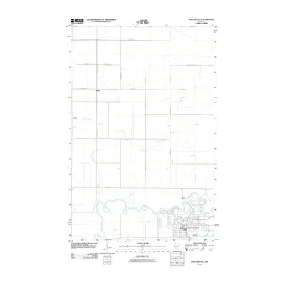
The city of Red Lake Falls sits at the confluence where the Clearwater River joins the winding Red Lake River, serving as a focal point for this 1980s-era landscape. The map illustrates a complex water management system with numerous drainage features like County Ditch No 76 and County Ditch No 13, supporting the surrounding agricultural plains of Louisville and Polk County.
Find a feature on this map
27 named features on this map. Tap any name to fly to it.
Don’t see what you’re looking for? This feature index may not catch every label — zoom into the map to look around manually.
Map Details
Editions of this 1982 Red Lake Falls Map
This is the sole edition of this map. No revisions or reprints were ever made.
Historical Maps of Red Lake Falls Through Time
8 maps found
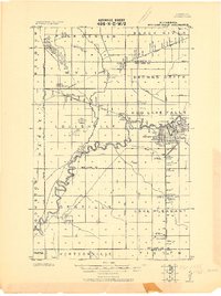
1918 Red Lake Falls
Red Lake County, MN
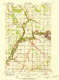
1952 Red Lake Falls
Red Lake County, MN
1982 Red Lake Falls
Red Lake County, MN
2010 Red Lake Falls
Red Lake County, MN
2013 Red Lake Falls
Red Lake County, MN
2016 Red Lake Falls
Red Lake County, MN
2019 Red Lake Falls
Red Lake County, MN
2022 Red Lake Falls
Red Lake County, MN
Featured Locations
- Pennington County, MN
- Red Lake County, MN
- Red Lake Falls, MN
- Wylie, MN
- Oaks Mobile Home Court, Red Lake Falls