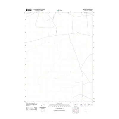
2012 Map of Red Lake NE
USGS Topo · Published 2012About this map
The high desert landscape of Sweetwater County is defined here by a network of remote access routes used for ranching, energy exploration, and land management. Tipton N Rd serves as the primary north-south artery through this arid region, crossing paths with Luman Rd as they navigate the subtle drainage patterns of the Wyoming basin. The presence of BLM Road 3219 in the northern portion of the quadrangle highlights the significant role of federal land management in this part of the state. This 2012 survey documents the essential infrastructure that supports the specialized economy of the high plains, where unpaved roads are the vital links between distant outposts and the main travel corridors to the south.
Find a feature on this map
3 named features on this map. Tap any name to fly to it.
Don’t see what you’re looking for? This feature index may not catch every label — zoom into the map to look around manually.
Map Details
Editions of this 2012 Red Lake NE Map
This is the sole edition of this map. No revisions or reprints were ever made.
Other maps of this area

1954 · Rock Springs
USGS Topo · 1:250,000

1955 · Lander
USGS Topo · 1:250,000

1958 · Lander
USGS Topo · 1:250,000

1958 · Rock Springs
USGS Topo · 1:250,000

1960 · Red Lake
USGS Topo · 1:62,500

1960 · Lost Creek Butte
USGS Topo · 1:62,500

1960 · Five Fingers Butte
USGS Topo · 1:62,500

1960 · Lost Creek Lake
USGS Topo · 1:62,500

1961 · Lander
USGS Topo · 1:250,000

1962 · Rock Springs
USGS Topo · 1:250,000