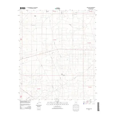
2013 Map of Red Lake SE
USGS Topo · Published 2013About this map
South High Lonesome Oil Field and the Anderson Oil Field define the industrial landscape of this section of Eddy County. The 2013 survey illustrates a high density of energy infrastructure, where a complex network of local routes like Co Road 214, Arco Rd, and Kewanee Rd support petroleum extraction across the Chihuahuan Desert terrain. The map records several named basins including the Greyburg Maljamar Oil Field and the Artesia Oil Field, underscoring the region's importance to the New Mexico oil economy.
Find a feature on this map
29 named features on this map. Tap any name to fly to it.
Don’t see what you’re looking for? This feature index may not catch every label — zoom into the map to look around manually.
Map Details
Editions of this 2013 Red Lake SE Map
This is the sole edition of this map. No revisions or reprints were ever made.
Other maps of this area

1942 · Clayton Basin
USGS Topo · 1:62,500

1943 · Clayton Basin
USGS Topo · 1:62,500

1943 · Oil City
USGS Topo · 1:62,500

1951 · Diamond Mound
USGS Topo · 1:24,000

1953 · Basin Well
USGS Topo · 1:24,000

1954 · Carlsbad
USGS Topo · 1:250,000

1954 · Hobbs
USGS Topo · 1:250,000

1955 · Red Lake SE
USGS Topo · 1:24,000

1955 · Red Lake
USGS Topo · 1:24,000

1958 · Carlsbad
USGS Topo · 1:250,000