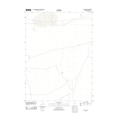
2012 Map of Red Lake
USGS Topo · Published 2012About this map
Chalk Butte stands as a prominent landmark in this high-desert landscape within Sweetwater County, marking a terrain defined by subtle elevation changes and sparse water features. This early 21st-century survey by the U.S. Geological Survey illustrates a remote ranching or resource corridor where infrastructure is limited to a handful of unpaved routes. Long-established tracks such as Bar X Rd and Luman Rd provide the primary access through the region, reflecting the vast, open-space character of the Wyoming interior. The map also identifies Cord-4-20, a county road designation that speaks to the localized network of Sweetwater County's rural management. For the researcher or land historian, this sheet documents the precise locations of small ephemeral water bodies and the specific paths of back-country roads that support the local livestock or energy industries of the region.
Find a feature on this map
4 named features on this map. Tap any name to fly to it.
Don’t see what you’re looking for? This feature index may not catch every label — zoom into the map to look around manually.
Map Details
Editions of this 2012 Red Lake Map
This is the sole edition of this map. No revisions or reprints were ever made.
Other maps of this area

1954 · Rock Springs
USGS Topo · 1:250,000

1955 · Lander
USGS Topo · 1:250,000

1958 · Lander
USGS Topo · 1:250,000

1958 · Rock Springs
USGS Topo · 1:250,000

1958 · Twelvemile Well
USGS Topo · 1:62,500

1958 · The Pinnacles
USGS Topo · 1:62,500

1960 · Red Lake
USGS Topo · 1:62,500

1960 · Five Fingers Butte
USGS Topo · 1:62,500

1961 · Lander
USGS Topo · 1:250,000

1962 · Rock Springs
USGS Topo · 1:250,000