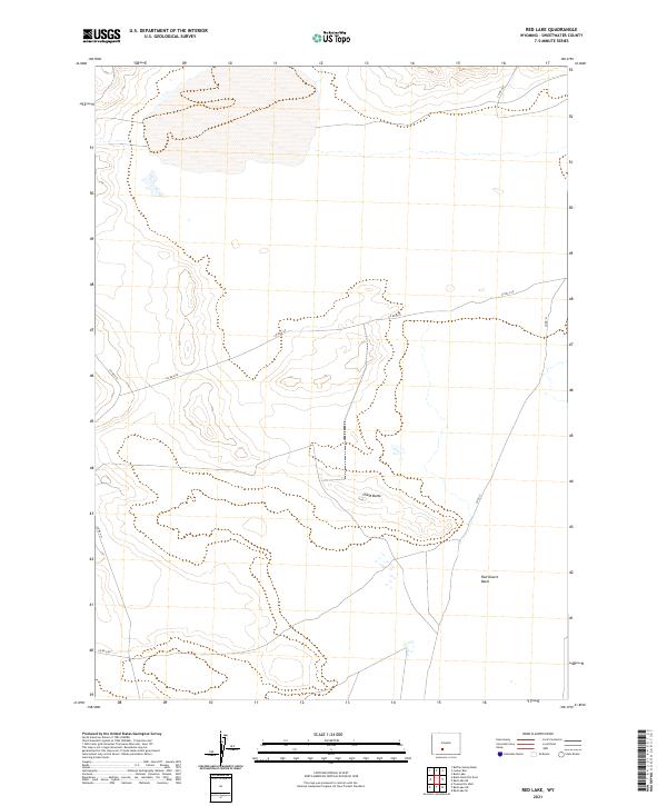
2021 Map of Red Lake
USGS Topo · Published 2021About this map
Red Desert Basin dominates this portion of the Wyoming landscape, revealing a remote high-desert environment characterized by subtle topography and vast drainage patterns. The 2021 survey shows a region defined more by its natural landmarks than human settlement, with Chalk Butte serving as a prominent geographical anchor in the central part of the quadrangle. The map details the minimal infrastructure that traverses this arid expanse, primarily consisting of county roads such as Co Rd 4-20 and Co Rd 21 that cut across the township and range boundaries of t23n r98w and t22n r97w. These routes provide essential access for land management and resource exploration in a landscape where water and elevation changes are the primary features of interest for researchers and explorers.
Find a feature on this map
10 named features on this map. Tap any name to fly to it.
Don’t see what you’re looking for? This feature index may not catch every label — zoom into the map to look around manually.
Map Details
Editions of this 2021 Red Lake Map
This is the sole edition of this map. No revisions or reprints were ever made.
Other maps of this area

1954 · Rock Springs
USGS Topo · 1:250,000

1955 · Lander
USGS Topo · 1:250,000

1958 · Lander
USGS Topo · 1:250,000

1958 · Rock Springs
USGS Topo · 1:250,000

1958 · Twelvemile Well
USGS Topo · 1:62,500

1958 · The Pinnacles
USGS Topo · 1:62,500

1960 · Red Lake
USGS Topo · 1:62,500

1960 · Five Fingers Butte
USGS Topo · 1:62,500

1961 · Lander
USGS Topo · 1:250,000

1962 · Rock Springs
USGS Topo · 1:250,000