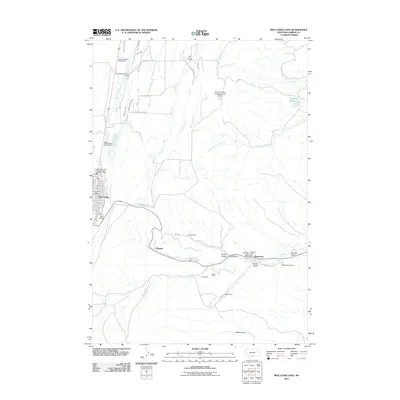
2011 Map of Red Lodge East
USGS Topo · Published 2011About this map
Red Lodge serves as the western anchor for this landscape, where the town's grid meets the banks of Rock Creek. To the east, the terrain is defined by a series of gulches and coal-mining history. The small settlements of Washoe and Bearcreek line the valley floor along Bear Creek, marking a corridor once heavy with industrial activity. Evidence of this heritage is visible in the clusters of named mines south of the creek, including the Smith Mine, Burns Mine, and Foster Mine, while the Brophy Mine sits just north of the wash.
Find a feature on this map
48 named features on this map. Tap any name to fly to it.
Don’t see what you’re looking for? This feature index may not catch every label — zoom into the map to look around manually.
Map Details
Editions of this 2011 Red Lodge East Map
This is the sole edition of this map. No revisions or reprints were ever made.
Other maps of this area

1932 · Red Lodge No 2
USGS Topo · 1:48,000

1932 · Red Lodge No 1
USGS Topo · 1:48,000

1944 · Red Lodge
USGS Topo · 1:62,500

1954 · Billings
USGS Topo · 1:250,000

1956 · Roberts
USGS Topo · 1:24,000

1956 · Mount Maurice
USGS Topo · 1:62,500

1956 · Castagne
USGS Topo · 1:24,000

1956 · The Big Slide
USGS Topo · 1:24,000

1957 · Billings
USGS Topo · 1:250,000

1958 · Billings
USGS Topo · 1:250,000