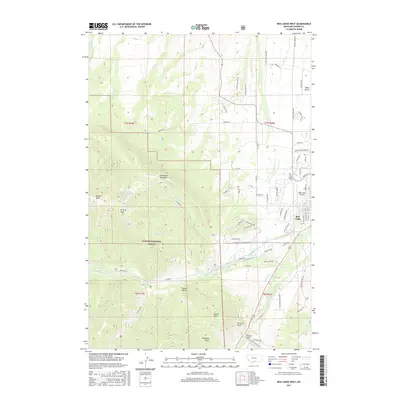
2017 Map of Red Lodge West
USGS Topo · Published 2017About this map
Red Lodge serves as the eastern anchor of this mountain landscape, where the high-altitude terrain of the Custer National Forest drops toward the plains of West Bench. The map illustrates a complex water management system crucial to this part of Montana, including the McDonald Ditch, Pryor Ditch, and Rock Creek Ditch, which redirect flows from W Fork Rock Cr and Rock Cr for valley agriculture. Higher elevations to the west are dominated by the Limestone Palisades and prominent summits like Grizzly Peak and Nichols Peak.
Find a feature on this map
82 named features on this map. Tap any name to fly to it.
Don’t see what you’re looking for? This feature index may not catch every label — zoom into the map to look around manually.
Map Details
Editions of this 2017 Red Lodge West Map
This is the sole edition of this map. No revisions or reprints were ever made.
Other maps of this area

1932 · Red Lodge No 2
USGS Topo · 1:48,000

1932 · Red Lodge No 1
USGS Topo · 1:48,000

1944 · Red Lodge
USGS Topo · 1:62,500

1954 · Billings
USGS Topo · 1:250,000

1956 · Roscoe
USGS Topo · 1:24,000

1956 · Roberts
USGS Topo · 1:24,000

1956 · Mount Maurice
USGS Topo · 1:62,500

1956 · Castagne
USGS Topo · 1:24,000

1957 · Billings
USGS Topo · 1:250,000

1958 · Billings
USGS Topo · 1:250,000