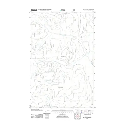
2011 Map of Red Mountain
USGS Topo · Published 2011About this map
The high ridges and deep drainages of the United States border region define this 2011 survey, where the international boundary separates Montana from British Columbia. High elevation points such as Red Mountain and Clingback Mountain overlook an intricate network of waterways, including Young Creek to the north and the East Fork Yaak River to the southwest. The landscape is primarily shaped by the headwaters of numerous creeks, such as Dodge Creek and Sullivan Creek, which carve through the terrain between Marias Mountain and Dodge Summit. This topographic study captures a remote wilderness at the start of the 2010s, highlighted by the presence of the Red Mountain Snow Gage and a complex system of Forest Service access routes like Nat For Dev Rd 470 G, providing a detailed view of the regional hydrology and mountain geography.
Find a feature on this map
20 named features on this map. Tap any name to fly to it.
Don’t see what you’re looking for? This feature index may not catch every label — zoom into the map to look around manually.
Map Details
Editions of this 2011 Red Mountain Map
This is the sole edition of this map. No revisions or reprints were ever made.
Other maps of this area

1957 · Kalispell
USGS Topo · 1:250,000

1960 · Kalispell
USGS Topo · 1:250,000

1961 · Kalispell
USGS Topo · 1:250,000

1963 · Rexford
USGS Topo · 1:24,000

1963 · Robinson Mountain
USGS Topo · 1:24,000

1963 · Red Mountain
USGS Topo · 1:24,000

1963 · Webb Mountain
USGS Topo · 1:24,000

1963 · Boulder Lakes
USGS Topo · 1:24,000
1963 · Beartrap Mountain
USGS Topo · 1:24,000

1979 · Yaak River
USGS Topo · 1:100,000