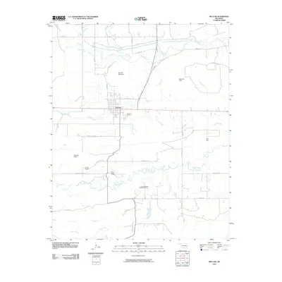
2010 Map of Red Oak
USGS Topo · Published 2010About this map
The town of Red Oak serves as the focal point of this Eastern Oklahoma landscape, situated where the valley floor meets the base of Red Oak Mountain. The community layout is clearly defined north of the highway, with streets like NE Maple St and landmarks such as the Red Oak Cemetery providing a detailed view of the settlement during this period. The surrounding terrain is characterized by a series of prominent elevations, including Red Oak Peak, Bull Hill, and the extensive Red Oak Ridge to the west.
Find a feature on this map
33 named features on this map. Tap any name to fly to it.
Don’t see what you’re looking for? This feature index may not catch every label — zoom into the map to look around manually.
Map Details
Editions of this 2010 Red Oak Map
This is the sole edition of this map. No revisions or reprints were ever made.
Other maps of this area

1900 · Sansbois
USGS Topo · 1:125,000

1900 · Sallisaw
USGS Topo · 1:125,000

1900 · Winding Stair
USGS Topo · 1:125,000

1901 · Tuskahoma
USGS Topo · 1:125,000

1908 · Tuskahoma
USGS Topo · 1:125,000

1909 · Tuskahoma
USGS Topo · 1:125,000

1909 · Winding Stair
USGS Topo · 1:125,000

1909 · Sans Bois
USGS Topo · 1:125,000

1911 · Sallisaw
USGS Topo · 1:125,000

1911 · Sansbois
USGS Topo · 1:125,000