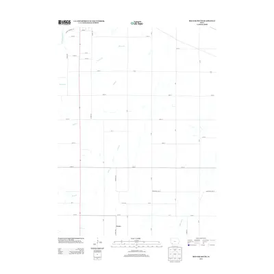
2013 Map of Red Oak South
USGS Topo · Published 2013About this map
Nyman stands as the primary settlement in this corner of Montgomery and Page Counties, situated along Co Hwy-M56 and 110th St. The landscape is defined by the drainage patterns of the E Nishnabotna River in the northwest and the Tarkio River in the southeast. A grid of rural section roads, including Hickory Ave and L Ave, connects the agricultural tracts between several named waterways. Tributaries such as Mormon Br, Ashby Cr, and Ramp Cr carve through the terrain, illustrating the hydrologic character of the region. The boundary line of Montgomery Page St marks the jurisdictional transition across the southern portion of the quadrangle, where level roads and creek crossings dominate the local geography.
Find a feature on this map
35 named features on this map. Tap any name to fly to it.
Don’t see what you’re looking for? This feature index may not catch every label — zoom into the map to look around manually.
Map Details
Editions of this 2013 Red Oak South Map
This is the sole edition of this map. No revisions or reprints were ever made.
Other maps of this area

1954 · Omaha
USGS Topo · 1:250,000

1955 · Nebraska City
USGS Topo · 1:250,000

1957 · Nebraska City
USGS Topo · 1:250,000

1957 · Omaha
USGS Topo · 1:250,000

1958 · Omaha
USGS Topo · 1:250,000

1958 · Nebraska City
USGS Topo · 1:250,000

1978 · Stanton
USGS Topo · 1:24,000

1978 · Shenandoah East
USGS Topo · 1:24,000

1978 · Stanton SW
USGS Topo · 1:24,000

1978 · Wallin
USGS Topo · 1:24,000