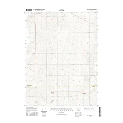
2015 Map of Red Oak South
USGS Topo · Published 2015About this map
Red Oak anchors the northern reaches of this Iowa landscape, where the East Nishnabotna River winds through the valley floor. The terrain transitions south across the Montgomery Co Page Co line, revealing a rural network of farm-to-market roads like Co Hwy M55 and Co Hwy H46 that define the agricultural grid. This survey highlights the deep-rooted local history found in several small burying grounds, including Hewitt Cem near the city and the more remote Mount Hope Cem further south.
Find a feature on this map
48 named features on this map. Tap any name to fly to it.
Don’t see what you’re looking for? This feature index may not catch every label — zoom into the map to look around manually.
Map Details
Editions of this 2015 Red Oak South Map
This is the sole edition of this map. No revisions or reprints were ever made.
Other maps of this area

1954 · Omaha
USGS Topo · 1:250,000

1955 · Nebraska City
USGS Topo · 1:250,000

1957 · Nebraska City
USGS Topo · 1:250,000

1957 · Omaha
USGS Topo · 1:250,000

1958 · Omaha
USGS Topo · 1:250,000

1958 · Nebraska City
USGS Topo · 1:250,000

1978 · Stanton
USGS Topo · 1:24,000

1978 · Shenandoah East
USGS Topo · 1:24,000

1978 · Stanton SW
USGS Topo · 1:24,000

1978 · Wallin
USGS Topo · 1:24,000