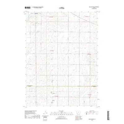
2018 Map of Red Oak South
USGS Topo · Published 2018About this map
Red Oak anchors the northern reaches of this survey where the East Nishnabotna River winds through the landscape. The terrain south of the city is defined by a dense network of tributaries including Mormon Br and Ashby Cr, which carve through the farmland of Montgomery and Page Counties. This 2018 record captures the rural character of southwestern Iowa, marked by the small settlement of Nyman and several community landmarks. Genealogy researchers will find several notable burial sites positioned along the section lines, including Hewitt Cem near the river and the secluded Plum Thicket Cem. Further south near the county boundary, the Mount Hope Cem and Fremont Township Cem serve as quiet touchstones for the area's local history. The land is organized by a strictly gridded road system, with thoroughfares like Co Hwy H46 and 110th St providing access to the fertile valleys of the Tarkio River basin.
Find a feature on this map
37 named features on this map. Tap any name to fly to it.
Don’t see what you’re looking for? This feature index may not catch every label — zoom into the map to look around manually.
Map Details
Editions of this 2018 Red Oak South Map
This is the sole edition of this map. No revisions or reprints were ever made.
Other maps of this area

1954 · Omaha
USGS Topo · 1:250,000

1955 · Nebraska City
USGS Topo · 1:250,000

1957 · Nebraska City
USGS Topo · 1:250,000

1957 · Omaha
USGS Topo · 1:250,000

1958 · Omaha
USGS Topo · 1:250,000

1958 · Nebraska City
USGS Topo · 1:250,000

1978 · Stanton
USGS Topo · 1:24,000

1978 · Shenandoah East
USGS Topo · 1:24,000

1978 · Stanton SW
USGS Topo · 1:24,000

1978 · Wallin
USGS Topo · 1:24,000