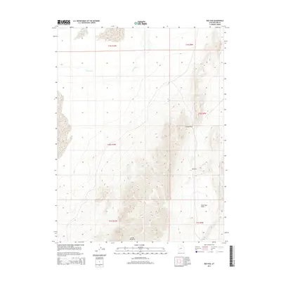
2014 Map of Red Pass
USGS Topo · Published 2014About this map
The Sevier River meanders across the northern portion of this high-desert landscape in Millard County, marking a stark contrast to the elevation changes found further south. This terrain is defined by the steep rises of the Cricket Mountains, which dominate the lower half of the quadrangle. The map documents critical topographic transitions and natural corridors through this arid region, including Johnson Pass and the eponymous Red Pass. These gaps provide vital passage through the north-south trending ridges that separate the river drainage from the broad White Sage Valley in the southeast. The survey highlights the spatial relationship between the seasonal water patterns of the north and the uplifted geological formations that characterize this segment of the Great Basin.
Find a feature on this map
11 named features on this map. Tap any name to fly to it.
Don’t see what you’re looking for? This feature index may not catch every label — zoom into the map to look around manually.
Map Details
Editions of this 2014 Red Pass Map
This is the sole edition of this map. No revisions or reprints were ever made.
Other maps of this area

1885 · Beaver
USGS Topo · 1:250,000

1885 · Sevier Desert
USGS Topo · 1:250,000

1908 · Fish Springs
USGS Topo · 1:250,000

1910 · Fish Springs
USGS Topo · 1:250,000

1953 · Richfield
USGS Topo · 1:250,000

1953 · Delta
USGS Topo · 1:250,000

1958 · Richfield
USGS Topo · 1:250,000

1958 · Delta
USGS Topo · 1:250,000

1962 · Delta
USGS Topo · 1:250,000

1971 · Red Pass
USGS Topo · 1:24,000