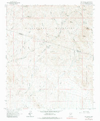
1964 Map of Red Picacho
USGS Topo · Published 1984About this map
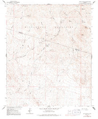
Mining operations and geological landmarks dominate the landscape of the Wickenburg Mountains and Hieroglyphic Mts in this mid-1960s survey. The area is defined by a heavy concentration of claims, reflecting the intense prospecting history of the Arizona desert. Notable sites include the White Cloud Mine, Independence Mine, and Great Southern Mine, which are scattered among prominent peaks like White Picacho and Red Picacho. The network of drainage systems, such as San Domingo Wash, Monarch Wash, and Trilby Wash, provides the primary navigational routes through the arid terrain. While the region lacks permanent settlements, the presence of Pechan Camp and numerous jeep trails suggests continued mineral exploration and seasonal activity. This record of lode mining and remote camps offers a clear picture of the region's industrial footprint before modern development patterns emerged.
Find a feature on this map
30 named features on this map. Tap any name to fly to it.
Don’t see what you’re looking for? This feature index may not catch every label — zoom into the map to look around manually.
Map Details
Editions of this 1964 Red Picacho Map
5 editions found
Other maps of this area

1887 · Prescott
USGS Topo · 1:250,000

1892 · Prescott
USGS Topo · 1:250,000

1903 · Bradshaw Mountains
USGS Topo · 1:125,000

1903 · Congress
USGS Topo · 1:125,000

1904 · Congress
USGS Topo · 1:125,000

1947 · Crown King
USGS Topo · 1:62,500

1947 · Wagoner
USGS Topo · 1:62,500

1948 · Crown King
USGS Topo · 1:63,360

1948 · Wagoner
USGS Topo · 1:63,360

1950 · Wagoner
USGS Topo · 1:62,500