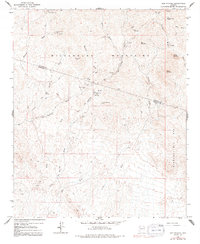
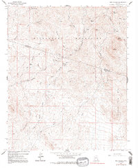
1964 Map of Red Picacho
USGS Topo · Published 1991About this map
Mining operations and arid drainage networks define this section of the Wickenburg Mountains and Hieroglyphic Mts along the border of Maricopa and Yavapai counties. The landscape is heavily marked by small-scale hard rock mining, with numerous named claims such as the White Cloud Mine, Great Southern Mine, and the Midnight Owl Mine scattered across the desert peaks. These sites are linked by a complex web of 4WD tracks that follow natural contours and dry washes.
Find a feature on this map
36 named features on this map. Tap any name to fly to it.
Don’t see what you’re looking for? This feature index may not catch every label — zoom into the map to look around manually.
Map Details
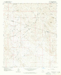
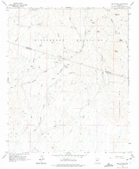
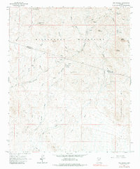
Editions of this 1964 Red Picacho Map
5 editions found
Other maps of this area

1887 · Prescott
USGS Topo · 1:250,000

1892 · Prescott
USGS Topo · 1:250,000

1903 · Bradshaw Mountains
USGS Topo · 1:125,000

1903 · Congress
USGS Topo · 1:125,000

1904 · Congress
USGS Topo · 1:125,000

1947 · Crown King
USGS Topo · 1:62,500

1947 · Wagoner
USGS Topo · 1:62,500

1948 · Crown King
USGS Topo · 1:63,360

1948 · Wagoner
USGS Topo · 1:63,360

1950 · Wagoner
USGS Topo · 1:62,500