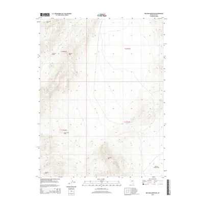
2014 Map of Red Ring Mountain
USGS Topo · Published 2014About this map
Red Ring Mtn anchors this arid Nevada landscape, where the geological naming conventions of the Basin and Range are on full display. The topographic transition from the high Andesite Ridge down into the Little Smoky Valley illustrates the classic north-south faulting patterns of the region. Evidence of historical volcanic activity is preserved in the nomenclature of the Rhyolite Hills at the southern edge of the survey.
Find a feature on this map
12 named features on this map. Tap any name to fly to it.
Don’t see what you’re looking for? This feature index may not catch every label — zoom into the map to look around manually.
Map Details
Editions of this 2014 Red Ring Mountain Map
This is the sole edition of this map. No revisions or reprints were ever made.
Other maps of this area

1956 · Lund
USGS Topo · 1:250,000

1956 · Tonopah
USGS Topo · 1:250,000

1959 · Tonopah
USGS Topo · 1:250,000

1960 · Lund
USGS Topo · 1:250,000

1962 · Tonopah
USGS Topo · 1:250,000

1967 · Moores Station
USGS Topo · 1:62,500

1967 · Moores Station
USGS Topo · 1:24,000

1967 · Chaos Creek
USGS Topo · 1:24,000

1968 · Portuguese Mtn
USGS Topo · 1:62,500
1968 · Brown Summit NW
USGS Topo · 1:24,000