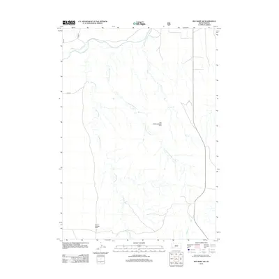
2012 Map of Red Shirt SW
USGS Topo · Published 2012About this map
The Cheyenne River defines the northern reaches of this landscape in the Oglala Lakota region, where a complex network of seasonal drainages carves through the high plains. Elevated landforms known as tables dominate the topography, most notably Squaw-Humper Table and Little Squaw-Humper Table, which rise above the surrounding creek beds. These plateaus reflect the distinctive geology of the area, providing natural overlooks above the winding paths of Squaw-Humper Cr and Pass Cr. The sparse infrastructure, consisting largely of routes like Sage Rd, highlights the open and undeveloped nature of this territory in the early 21st century. Researchers can trace the intricate dendritic drainage patterns of Little Squaw-Humper Cr as it flows toward the main river valley, illustrating the erosional forces that have shaped this portion of South Dakota.
Find a feature on this map
7 named features on this map. Tap any name to fly to it.
Don’t see what you’re looking for? This feature index may not catch every label — zoom into the map to look around manually.
Map Details
Editions of this 2012 Red Shirt SW Map
This is the sole edition of this map. No revisions or reprints were ever made.
Other maps of this area

1894 · Hermosa
USGS Topo · 1:125,000

1896 · Oelrichs
USGS Topo · 1:125,000

1900 · Oelrichs
USGS Topo · 1:125,000

1901 · Hermosa
USGS Topo · 1:125,000

1951 · Fairburn SE
USGS Topo · 1:24,000

1951 · Red Shirt
USGS Topo · 1:24,000

1951 · Willow Creek NW
USGS Topo · 1:24,000

1951 · Willow Creek NE
USGS Topo · 1:24,000

1951 · Red Shirt NE
USGS Topo · 1:24,000

1951 · Red Shirt SW
USGS Topo · 1:24,000