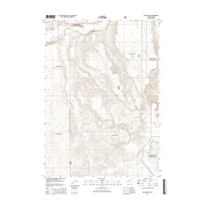
2015 Map of Red Shirt SW
USGS Topo · Published 2015About this map
Badlands National Park and the Buffalo Gap National Grassland define this corner of the South Dakota landscape where the Cheyenne River — also labeled as Tahca Okute Wakpa — cuts through the northern reaches. The terrain is dominated by distinctive geological formations, most notably the high plateaus of Red Shirt Table, Little Squaw-Humper Table, and Squaw-Humper Table. These features illustrate the dramatic erosion patterns characteristic of the region. Drainage is carved by the Little Squaw-Humper Cr and Pass Cr, with very few established roads like Willow Rd present. The intersection of the Custer and Oglala Lakota county lines provides a specific point of reference for researchers tracking historical land boundaries in this protected prairie environment.
Find a feature on this map
17 named features on this map. Tap any name to fly to it.
Don’t see what you’re looking for? This feature index may not catch every label — zoom into the map to look around manually.
Map Details
Editions of this 2015 Red Shirt SW Map
This is the sole edition of this map. No revisions or reprints were ever made.
Other maps of this area

1894 · Hermosa
USGS Topo · 1:125,000

1896 · Oelrichs
USGS Topo · 1:125,000

1900 · Oelrichs
USGS Topo · 1:125,000

1901 · Hermosa
USGS Topo · 1:125,000

1951 · Fairburn SE
USGS Topo · 1:24,000

1951 · Red Shirt
USGS Topo · 1:24,000

1951 · Willow Creek NW
USGS Topo · 1:24,000

1951 · Willow Creek NE
USGS Topo · 1:24,000

1951 · Red Shirt NE
USGS Topo · 1:24,000

1951 · Red Shirt SW
USGS Topo · 1:24,000