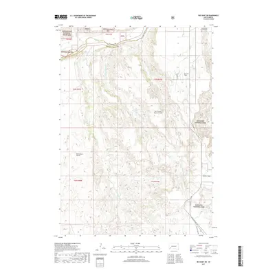
2017 Map of Red Shirt SW
USGS Topo · Published 2017About this map
Buffalo Gap National Grassland and Badlands National Park converge in this high-plains landscape where Oglala Lakota and Custer counties meet. The northern edge is defined by the winding course of the Cheyenne River, which separates the grasslands from the surrounding ridges. High plateaus like Red Shirt Table overlook a complex network of drainages including Tahc'a Okute Wakpa and Pass Creek. Cultural landmarks are centered near the tribal corridors, most notably the Christ Church Episcopal Cem located along Bia Hwy 41. The terrain is further characterized by distinct natural features such as Tahc'a Okute Aglehan, illustrating the traditional naming conventions that persist across this protected South Dakota geography.
Find a feature on this map
24 named features on this map. Tap any name to fly to it.
Don’t see what you’re looking for? This feature index may not catch every label — zoom into the map to look around manually.
Map Details
Editions of this 2017 Red Shirt SW Map
This is the sole edition of this map. No revisions or reprints were ever made.
Other maps of this area

1894 · Hermosa
USGS Topo · 1:125,000

1896 · Oelrichs
USGS Topo · 1:125,000

1900 · Oelrichs
USGS Topo · 1:125,000

1901 · Hermosa
USGS Topo · 1:125,000

1951 · Fairburn SE
USGS Topo · 1:24,000

1951 · Red Shirt
USGS Topo · 1:24,000

1951 · Willow Creek NW
USGS Topo · 1:24,000

1951 · Willow Creek NE
USGS Topo · 1:24,000

1951 · Red Shirt NE
USGS Topo · 1:24,000

1951 · Red Shirt SW
USGS Topo · 1:24,000