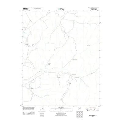
2011 Map of Red Slide Peak
USGS Topo · Published 2011About this map
Red Slide Peak serves as the dominant landmark for this high-desert region of the Navajo Nation. The landscape is defined by a complex network of wide, arid basins including Salt Water Valley, Horse Trail Valley, and Many Greasewood Valley. Water resources are sparse and critical in this environment, represented here by Black Rock Pond and the Reed Windmill.
Find a feature on this map
17 named features on this map. Tap any name to fly to it.
Don’t see what you’re looking for? This feature index may not catch every label — zoom into the map to look around manually.
Map Details
Editions of this 2011 Red Slide Peak Map
This is the sole edition of this map. No revisions or reprints were ever made.
Other maps of this area

1883 · Marsh Pass
USGS Topo · 1:250,000

1892 · Marsh Pass
USGS Topo · 1:250,000

1956 · Marble Canyon
USGS Topo · 1:250,000

1959 · Marble Canyon
USGS Topo · 1:250,000

1961 · Marble Canyon
USGS Topo · 1:250,000
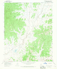
1967 · Big Mountain Dam
USGS Topo · 1:24,000
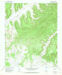
1967 · Pinon NW
USGS Topo · 1:24,000
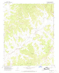
1967 · Coat Spring
USGS Topo · 1:24,000
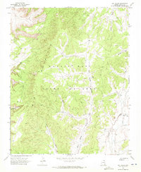
1968 · Owl Valley
USGS Topo · 1:24,000
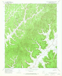
1968 · Toh Ne Zhonnie Spring
USGS Topo · 1:24,000