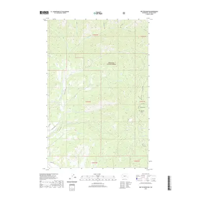
2020 Map of Red Top Mountain
USGS Topo · Published 2020About this map
Red Top Mtn and the sharp spine of Teanaway Ridge dominate this high-elevation landscape within the Wenatchee National Forest. The drainage patterns here are complex, defined by the North Fork Teanaway River and its numerous tributaries including Stafford Creek, Indian Creek, and Middle Cr. The terrain rises sharply toward Miller Peak in the north, showing the steep grades that characterize this portion of Kittitas County.
Find a feature on this map
34 named features on this map. Tap any name to fly to it.
Don’t see what you’re looking for? This feature index may not catch every label — zoom into the map to look around manually.
Map Details
Editions of this 2020 Red Top Mountain Map
This is the sole edition of this map. No revisions or reprints were ever made.
Other maps of this area

1897 · Mount Stuart
USGS Topo · 1:125,000

1902 · Mount Stuart
USGS Topo · 1:125,000

1957 · Wenatchee
USGS Topo · 1:250,000

1958 · Thorp
USGS Topo · 1:62,500

1958 · Cle Elum
USGS Topo · 1:62,500

1961 · Liberty
USGS Topo · 1:62,500

1961 · Mount Stuart
USGS Topo · 1:62,500

1975 · Wenatchee
USGS Topo · 1:100,000
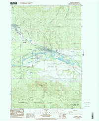
1984 · Cle Elum
USGS Topo · 1:24,000
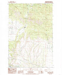
1985 · Swauk Prairie
USGS Topo · 1:24,000